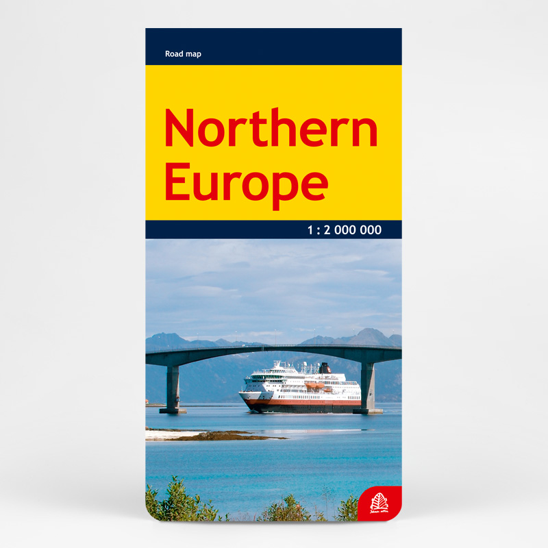

Description
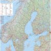
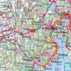
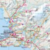
This map pictures territory including Scandinavia, Finland, Baltic countries, Iceland and Faroe islands, as well as Russia, Poland and Germany sides that lay by Baltic sea.
An information on road network (with distance marks, tunnels) and classification of settlements (cities and towns marked by population) is provided. There is wide range of settlements mapped, up to administrative centres in rural districts, forests, notable places and objects of interests, national parks, railway and ferry-boat routes, all airports, border crossing points. The relief is shown by shading.
The geographic place names are given in the original languages.