
Aprašymas
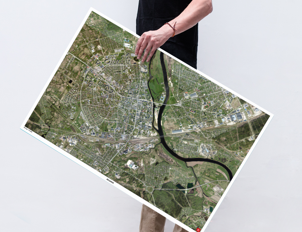
Printed sheet size 50 x 70 cm
Size of map area 47,5 x 67,8 cm
Tube size 54,5 cm x 7 cm (diameter)
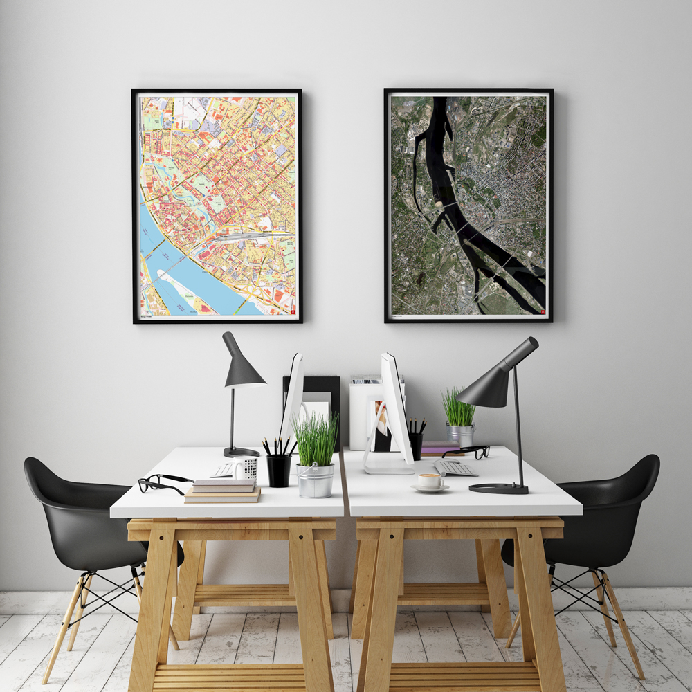
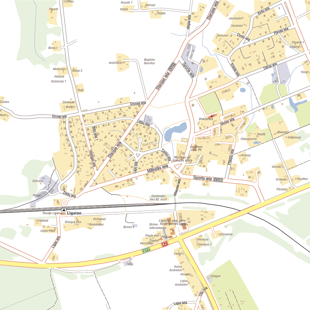
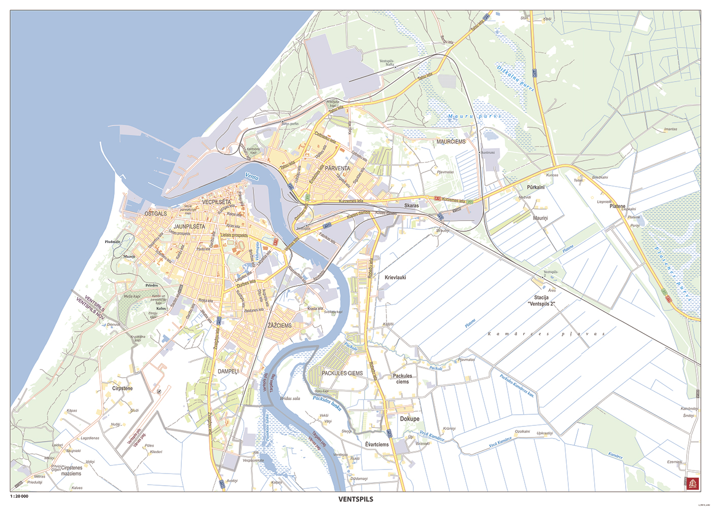
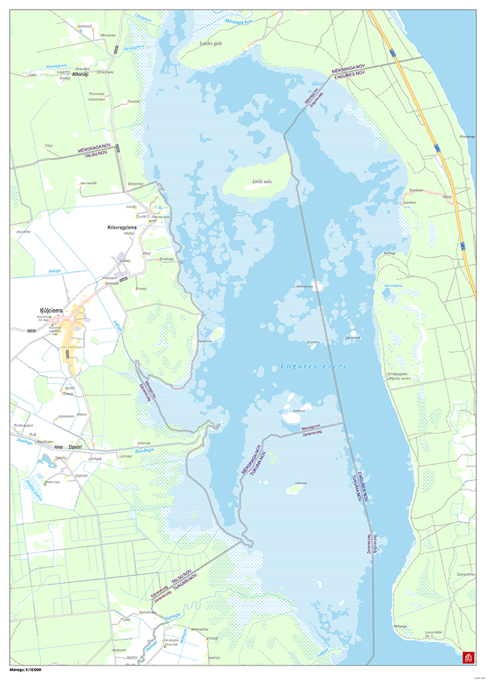
A map of a city, town or a village, a detailed map for planning events or a district map for marking territories of private property, enterprises, game reserves and likewise.
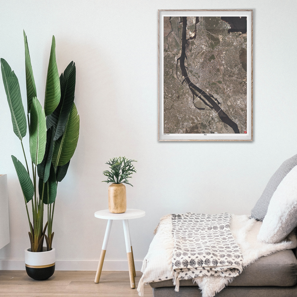
The customised map can just as well be used as a wall poster at work or home in order to remind one of significant locations in the Baltics.
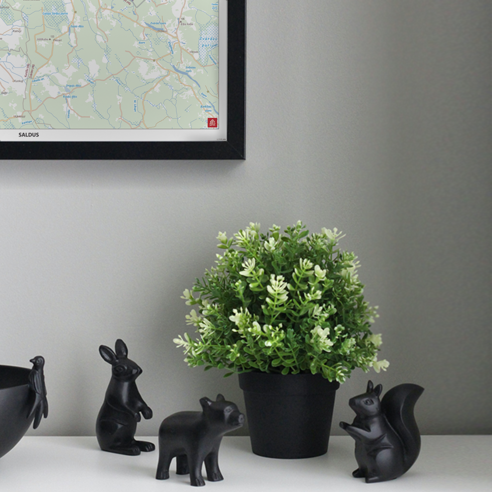
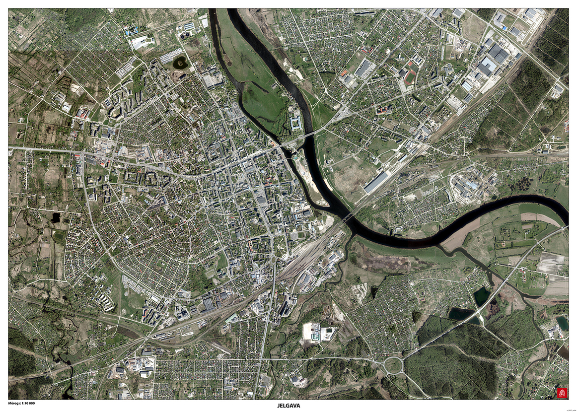
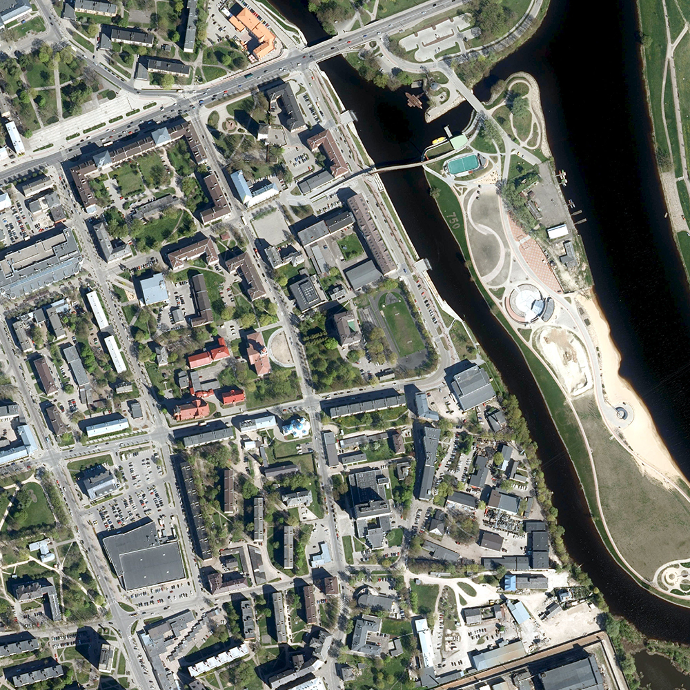
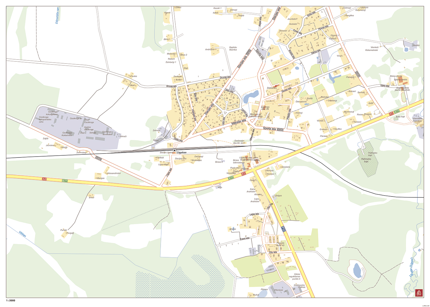
Two base options are available on MyBalticMaps self-service browser – a road map and an aerial photography (orthophoto) map. It is possible to add a preferred name to the map as well. It will be placed in the centre of the bottom margin of the map, outside the view of the map.
Creating a customised map and ordering its printout is convenient and simple – choose the base and the scale of the map, place the frame of the map on the selected location in the map and order the printout of the map! *
For a more convenient delivery and storage, we will pack the map in a cardboard tube with a special sticker. It can also be nicely used as a gift.
The data in our maps are regularly updated, as well as relevant corrections are done in the maps of MyBalticMaps, therefore the content of the map printout can slightly differ within time.
The product has been developed with the help of data from the Geospatial Information Agency of Latvia (2013-2019).
The map of the indicated size can be purchased only as a printout on paper. If you would like this map in a different size or printed on another type of material (double-sided laminated, printed on plastic, or framed), please call +371 67317540 or email kartes@kartes.lv for more information.