Aprašymas
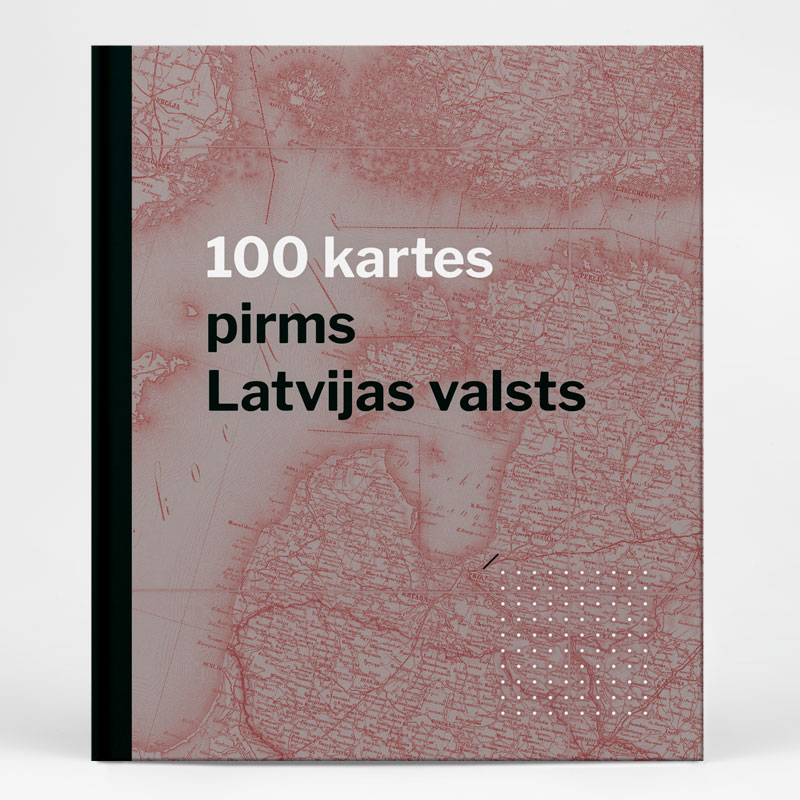
The book “100 Maps Before the Latvian State” offers a fascinating glimpse into Latvia’s history between 1795 and 1917 through a carefully curated collection of significant and intriguing maps. These maps – accompanied by narratives and historical images – provide a window into the rich cartographic heritage preserved by Latvia’s memory institutions.
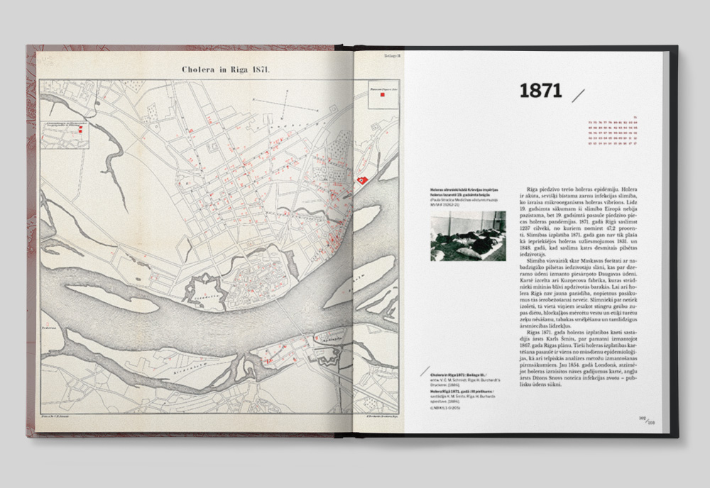
The 19th century was a time of groundbreaking technological advancement. Everyday life saw the arrival of inventions that have since become essential to modern living. This rapid progress also transformed cartography: maps became increasingly detailed and accurate, while new printing methods made them more accessible to the wider public.
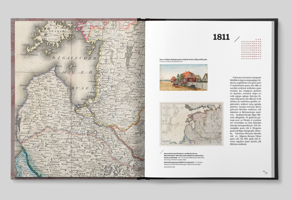
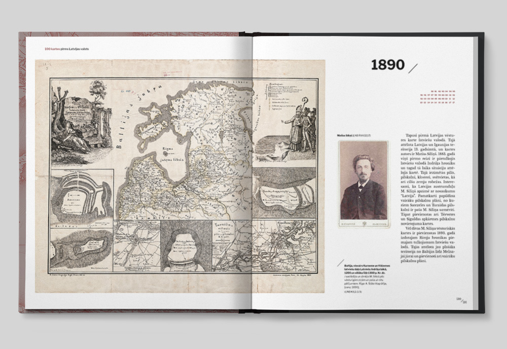
At the time, Latvia’s territory was part of the Russian Empire and divided into three provinces. The first half of the 19th century saw the publication of the first maps in the Latvian language, created by Baltic German pastors. Though simple, these maps gained wide popularity. By mid-century, the New Latvians recognized the need for higher-quality cartographic materials, and in 1861 the first Latvian-language atlas was published. In 1880, the word “Latvia” appeared on a map for the first time. By the end of the century, Latvia’s first professional cartographer, Matīss Siliņš, had begun his work, and linguist and pastor August Bielenstein had already secured his place in global cartographic history.
This period also brought sweeping changes to the Latvian landscape: the emergence of highways, railways, telegraph and telephone lines, newly dug canals, and river dams. Steamships began to arrive at ports, and Latvian sailing ships dotted the coastline. In the countryside, the so-called “Land Surveyor Era” began as peasants purchased estate land and established their own farms. The population more than tripled over the century, with many moving to rapidly growing industrial cities, where giant factories employing hundreds or thousands of workers sprang up on the outskirts.
All of these transformations are vividly reflected in the diverse range of maps included in “100 Maps Before the Latvian State.”
This book was created as part of the national research program “Latvia’s Heritage and Future Challenges for the Sustainability of the State”, under the project “The Role of Documentary Heritage in Building Synergies Between Research and Society” (project No. VPP-IZM-2018/1-0022). The publication was supported by the Culture Capital Foundation of Latvia.