Aprašymas
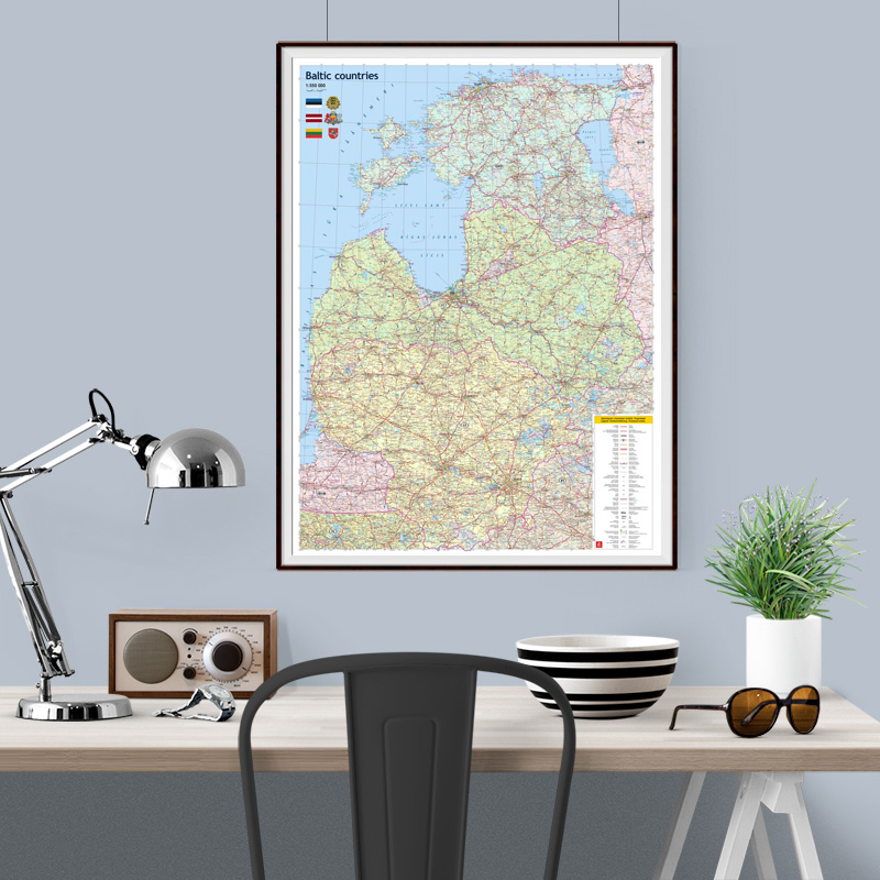
This map features a detailed network of roads and railways, classification of settlements, administrative boundaries, as well as the borders of nature reserves and national parks.
Place names are provided in their original languages, while the map legend is explained in six languages: Latvian, Lithuanian, Estonian, Russian, English, and German.
The map is complemented by the flags and coats of arms of the Baltic States.
If you would like this map in a different size or printed on another type of material (double-sided laminated, printed on plastic, or framed), please call +371 67317540 or email kartes@kartes.lv for more information.