Aprašymas
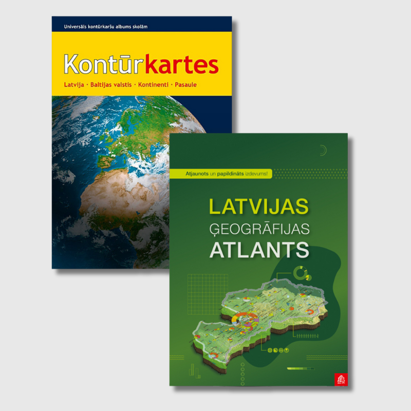
The set includes the Outline Maps Album and the Atlas of Latvian Geography.
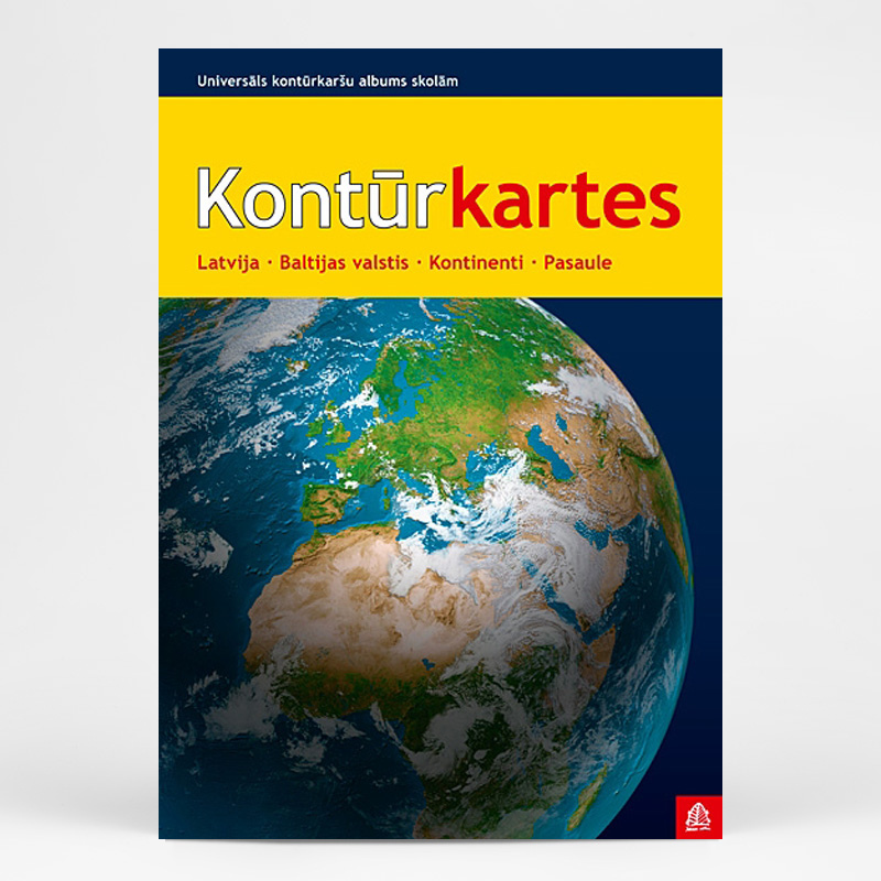
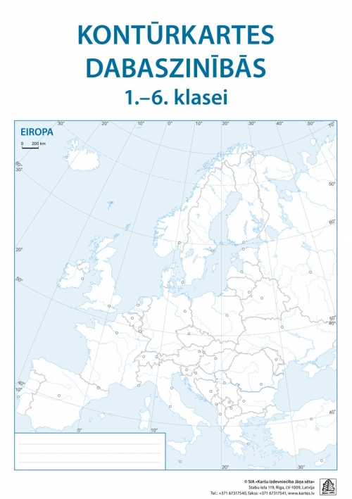
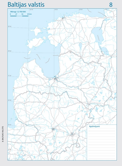
Outline map atlas for schools
The atlas contains 35 outline maps on perforated sheets, allowing each map to be removed and used individually. Two-color printing highlights relief and other geographical features for clearer visualization.
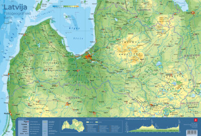
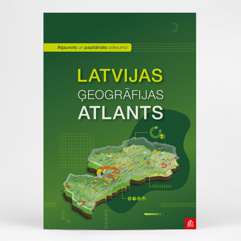
Geographic Atlas of Latvia
The most comprehensive collection of thematic maps about Latvia, designed for use by a wide range of professionals as well as individuals interested in Latvia’s geography, population, and economy. This publication is an invaluable tool for learning Latvian geography in schools.
The atlas includes 70 maps, illustrated with more than 200 photographs and diagrams, covering a wide range of topics – from geology, relief, climate, and soils to demographic processes that have become especially relevant in recent years.
The atlas features maps showing changes in ethnic composition, the distribution of the Latvian language, migration trends, and shifts in the gender and age structure of the population.
The clarity of the maps makes it easy for non-specialists to understand the complex processes taking place in Latvia, while the factual information included will satisfy even the most knowledgeable experts in the field.