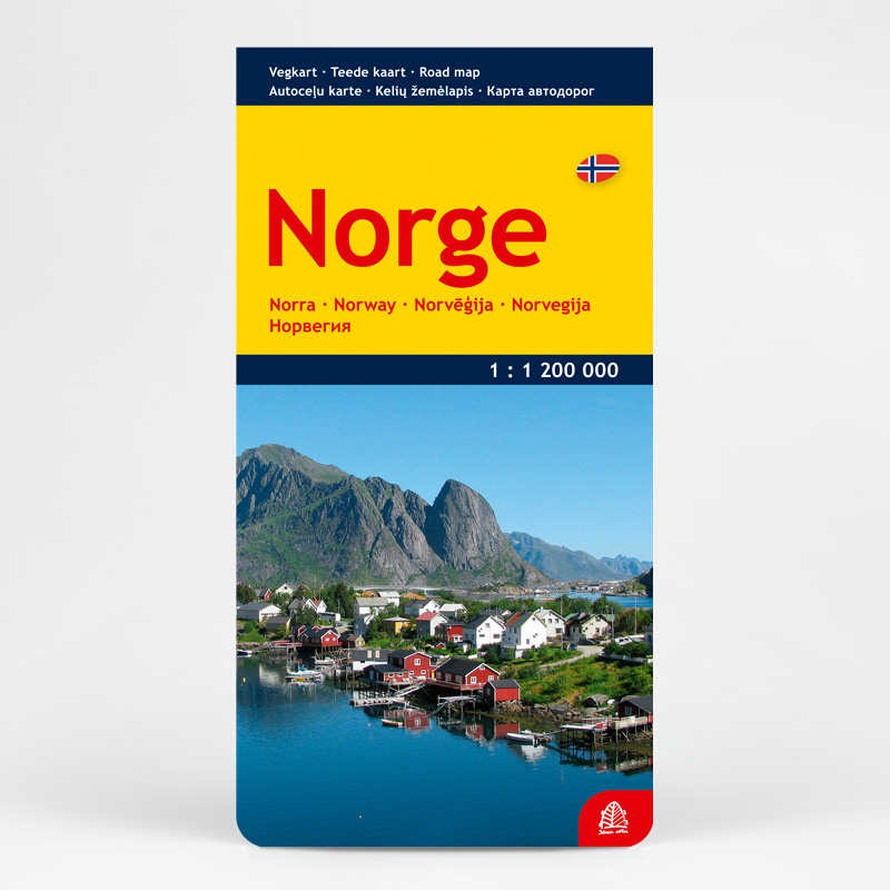
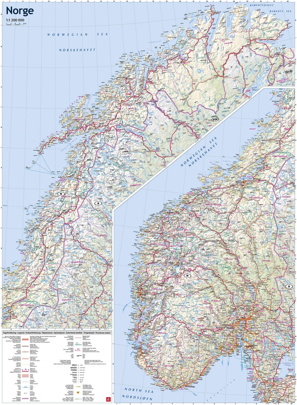

Aprašymas
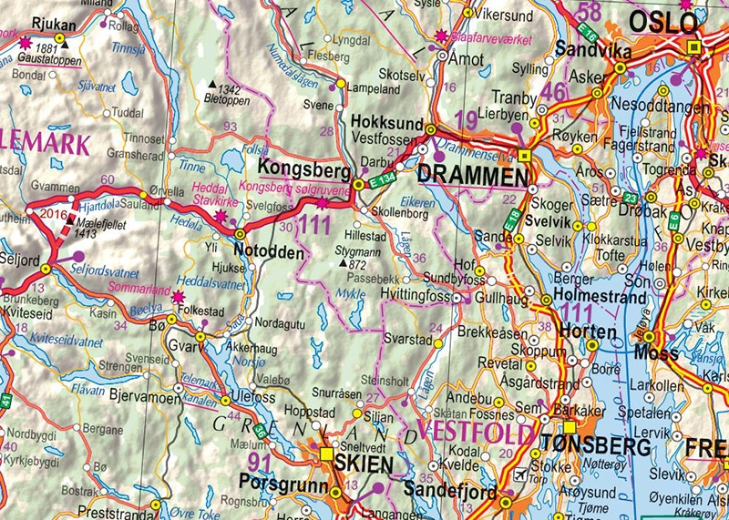
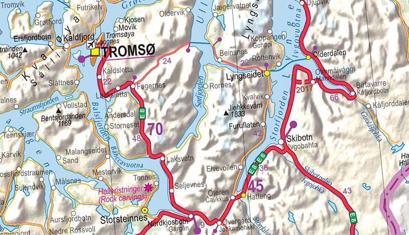
The Norway map features a detailed road network with distance markers between major road intersections, as well as all ferry routes and border crossing points. Thanks to the clear classification of populated places, it is easy to locate both large urban centers and small rural villages. The map also provides information on various tourist attractions and service facilities, national parks, selected settlements, railways, forests, and wetlands. The relief is illustrated with shaded terrain.