Aprašymas
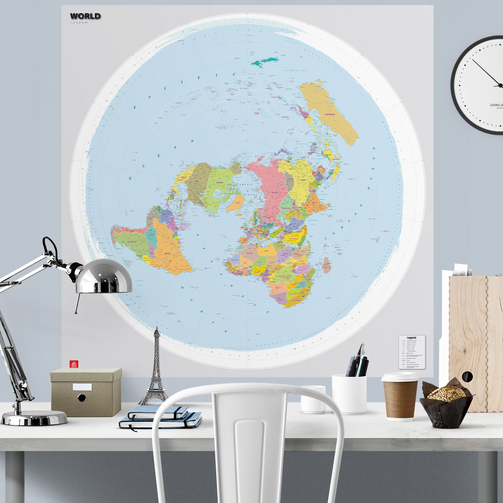
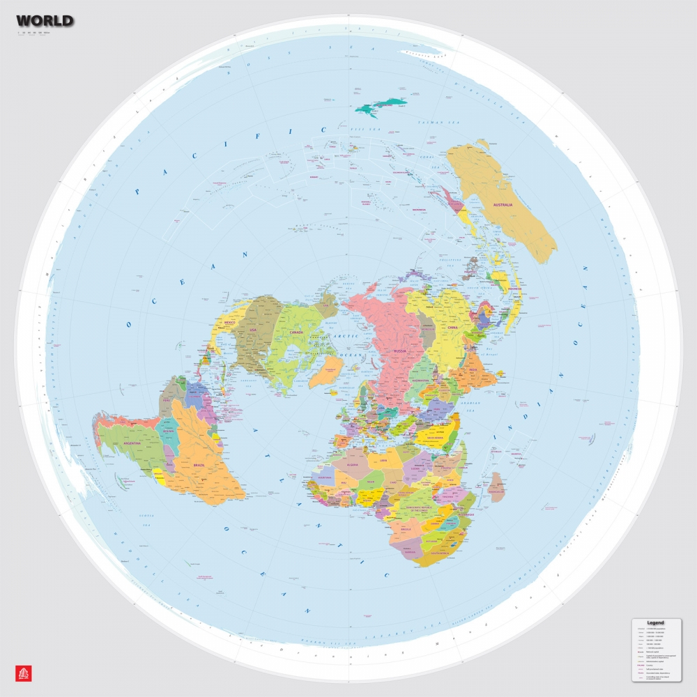
This version of the world political map is in English and features an unusual projection – with the North Pole at the center, drawing primary attention to the Northern Hemisphere.
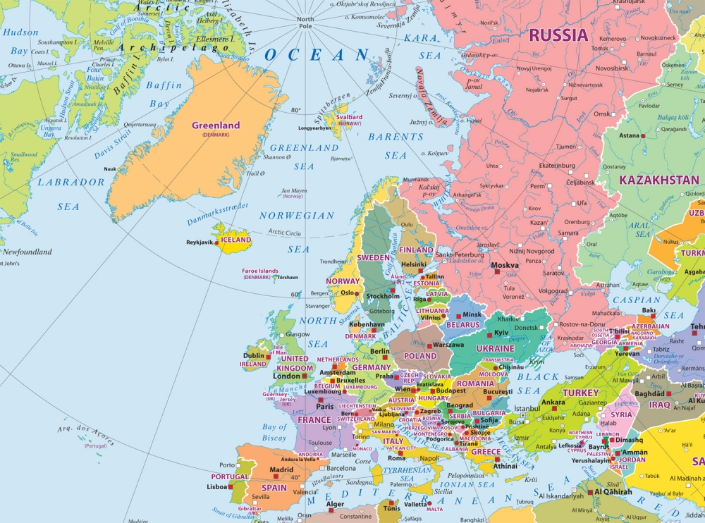
Otherwise, the map’s content does not differ significantly from a classic political world map: it shows the current division of territories into countries, capital cities, and other major cities.
This map is available in this size as a large-format paper print.
If you would like this map in a different size or printed on another type of material (double-sided laminated, printed on plastic, or framed), please call +371 67317540 or email kartes@kartes.lv for more information.