Aprašymas
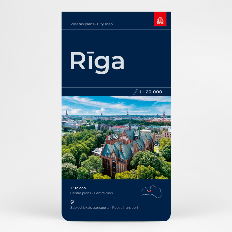
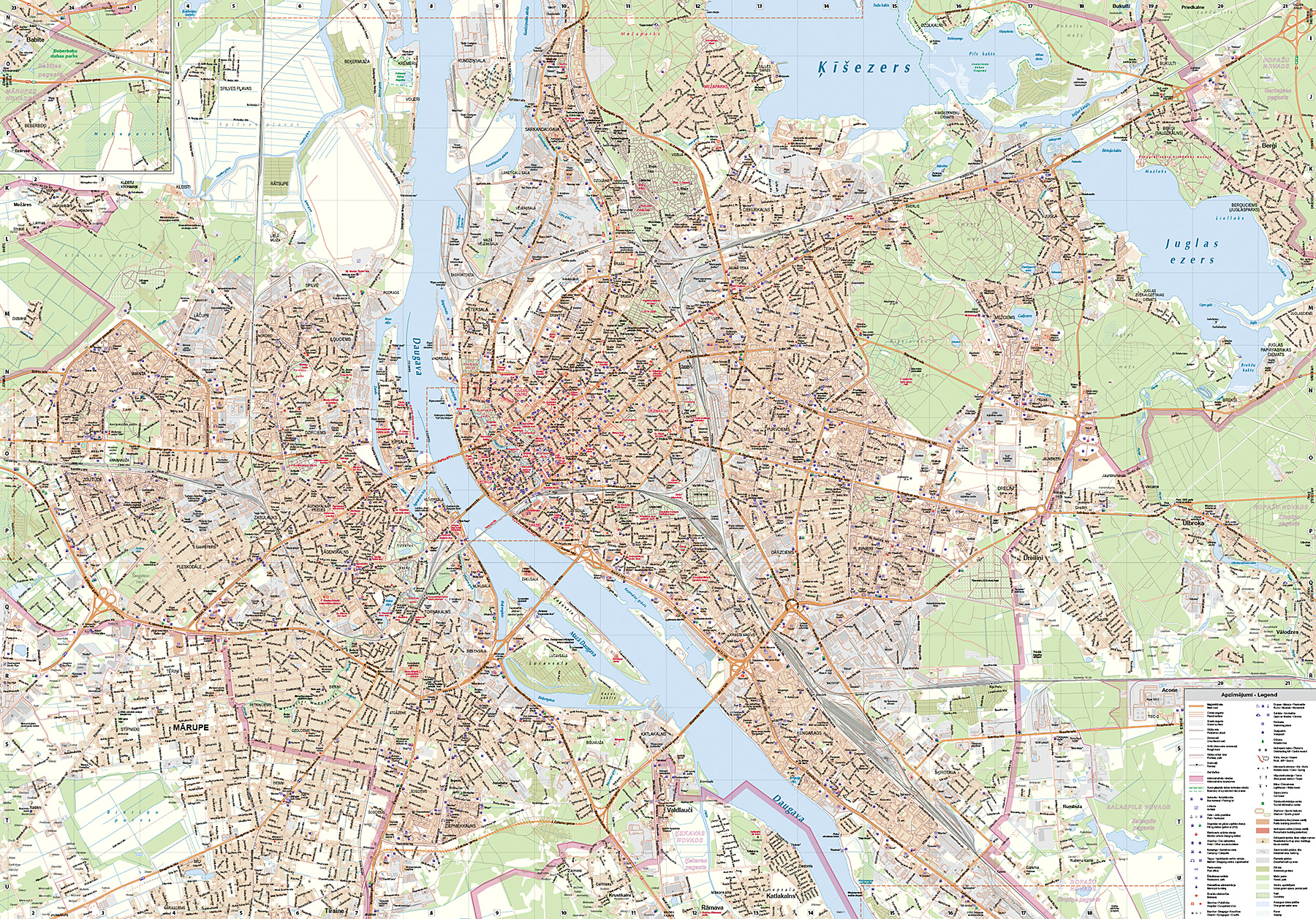
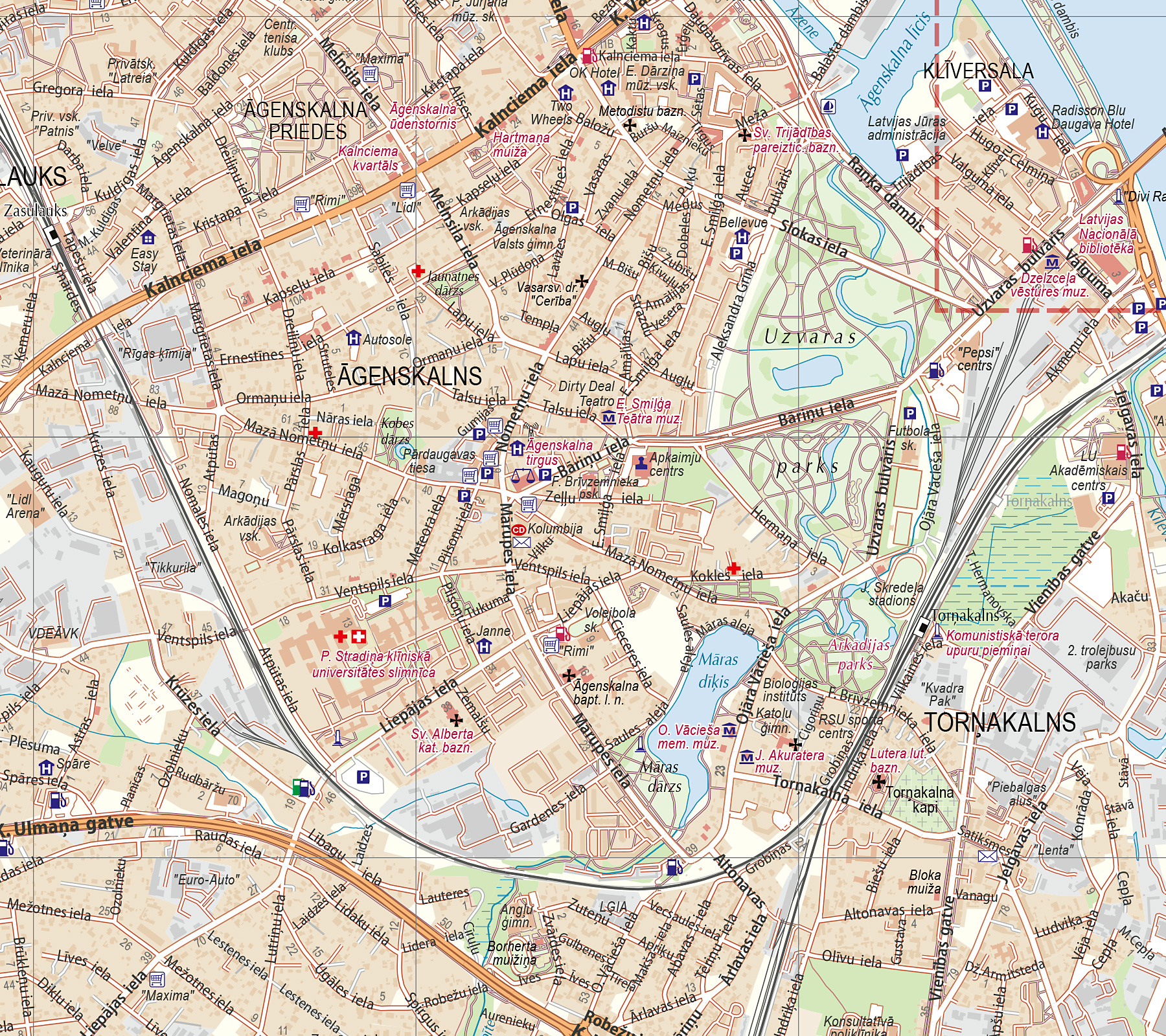
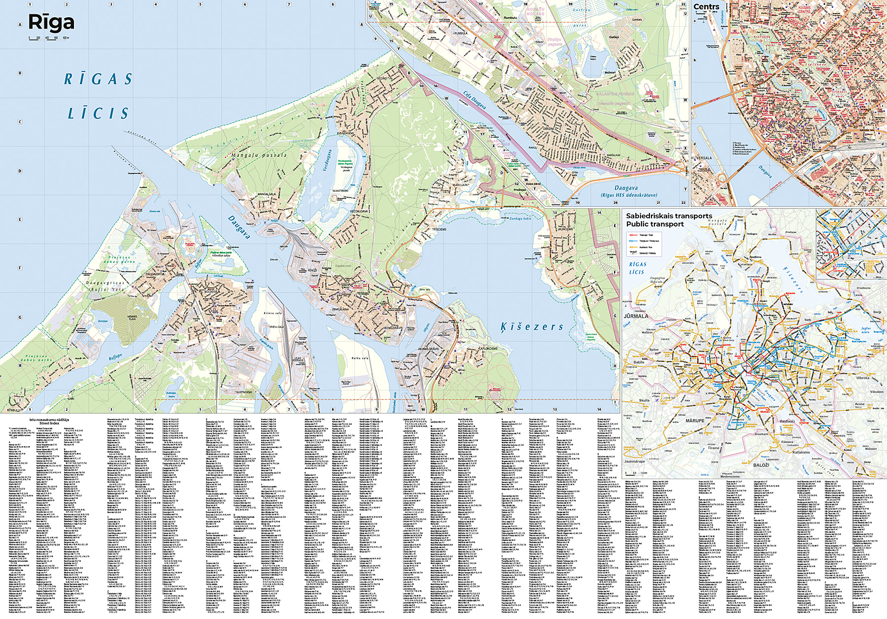
An updated Riga City Plan has been released, featuring a main map at a scale of 1:20,000 and a detailed city center map at 1:10,000. This comprehensive publication also includes:
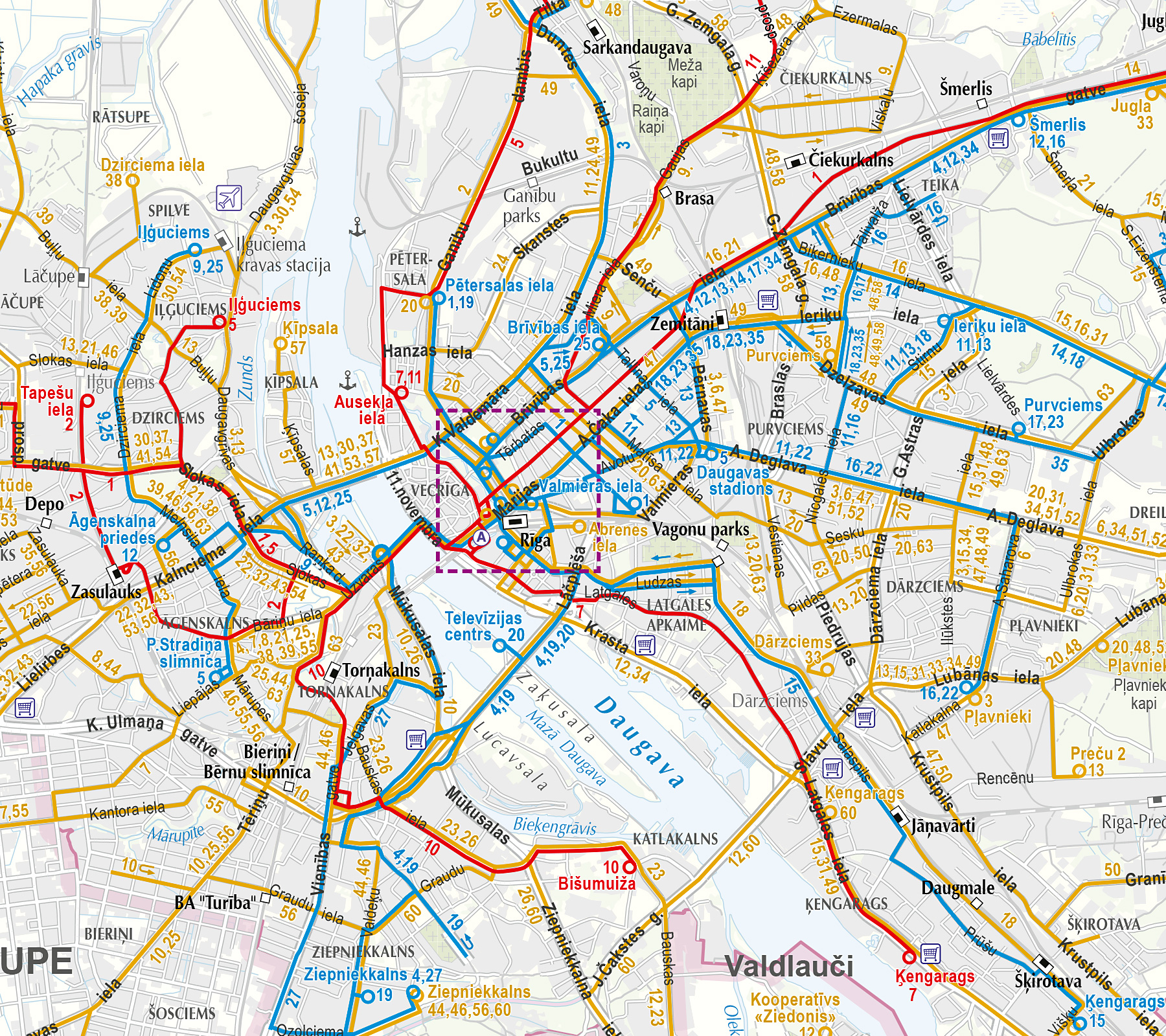
- A separate public transport scheme
- An updated layer of buildings and points of interest
- The complete base map with the most current street names
- The planned Rail Baltica railway route and stations, along with other planned transport stops
The map also covers the rapidly developing construction and road networks in the Pierīga region, including the newly established city of Mārupe, as well as Ulbroka, Dreiliņi, Valdlauči, Rumbula, and Berģi.
The Riga City Plan is presented on both sides of the publication, and the content has been thoroughly updated using the latest cartographic data, address databases, aerial imagery, and other reliable sources, supplemented by partial field surveys.