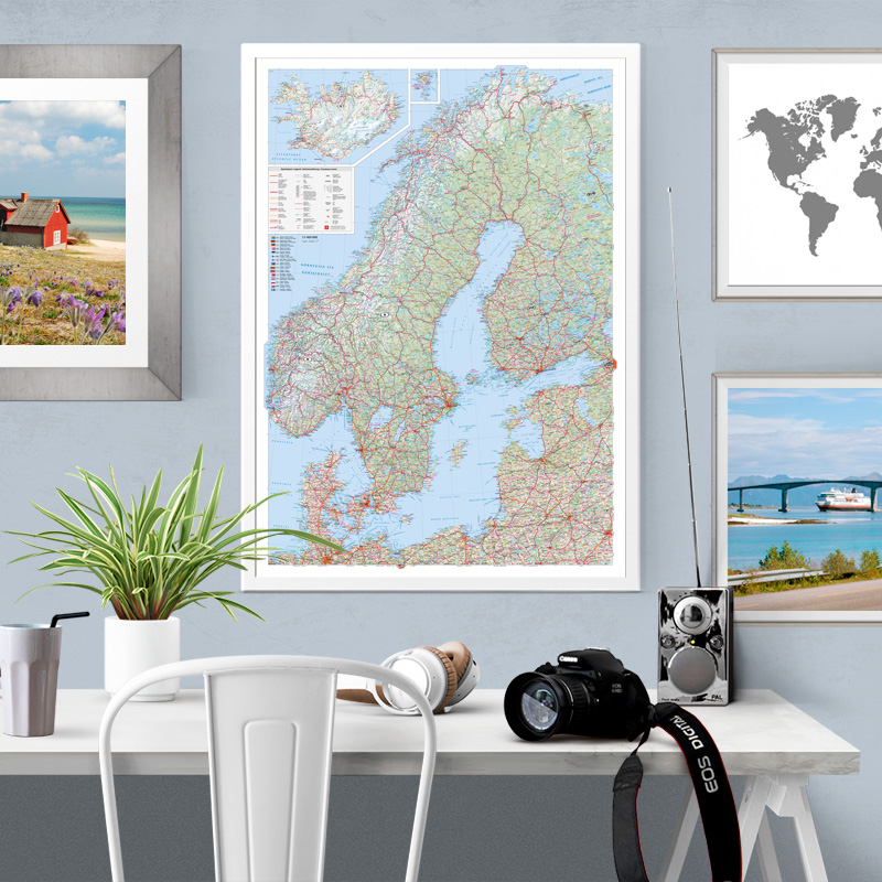
Aprašymas
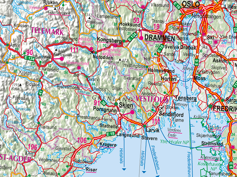
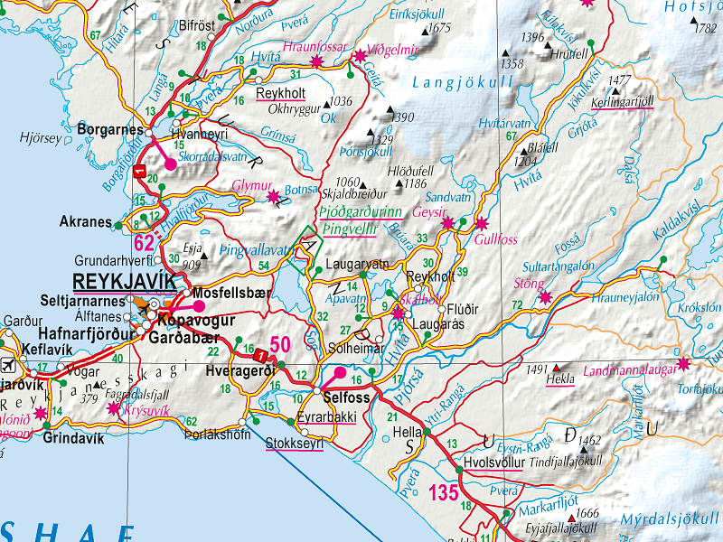
On Northern Europe map you will find detailed road and railroad network, classification of populated places, administrative boundaries.
Toponymes are given in their original languages, but map legend is given in four languages. Map is supplemented with flags of countries.
Map in this size is printed on paper.
If you would like this map in a different size or printed on another type of material (double-sided laminated, printed on plastic, or framed), please call +371 67317540 or email kartes@kartes.lv for more information.