Aprašymas
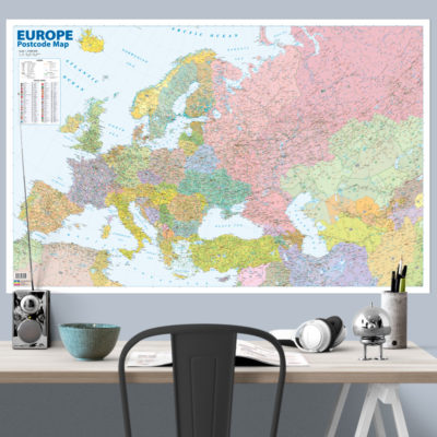
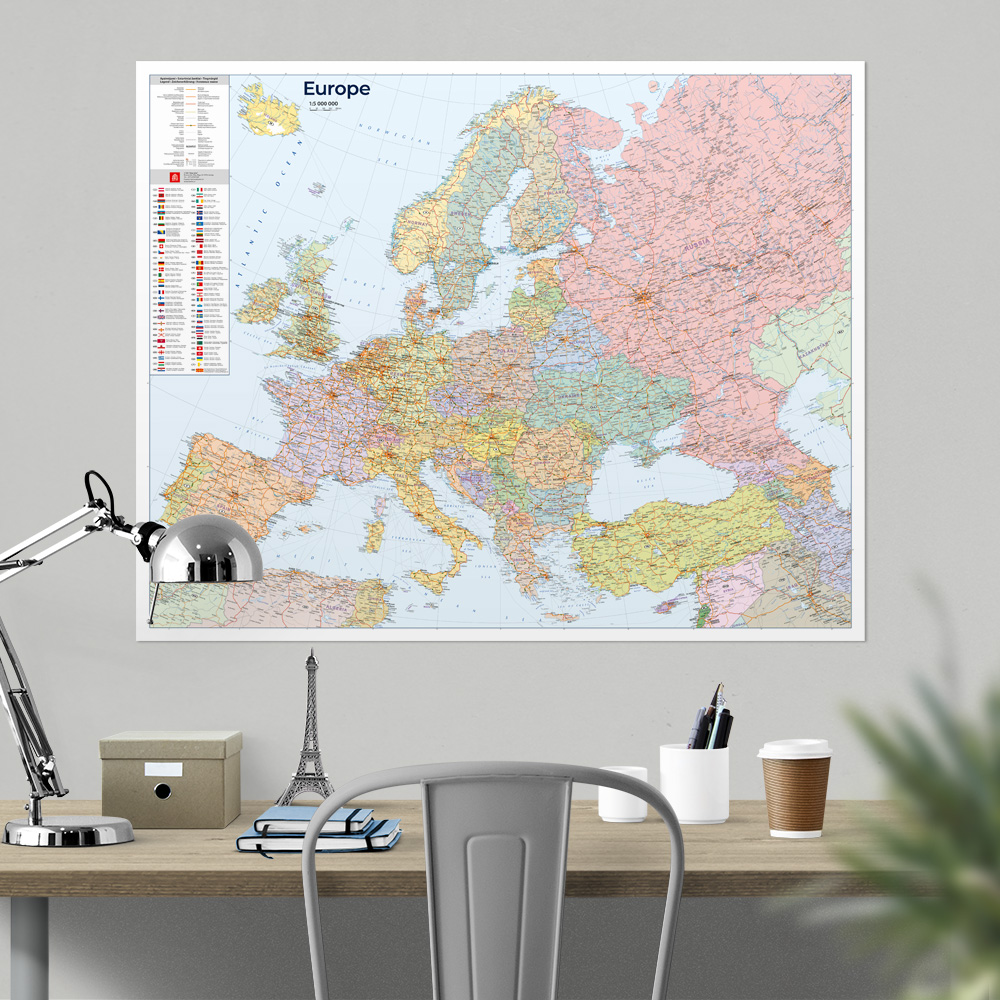
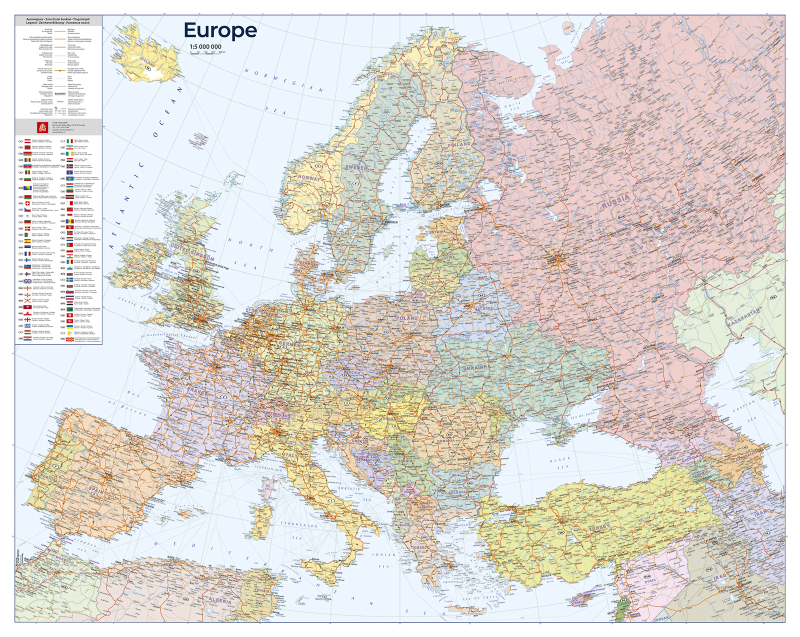
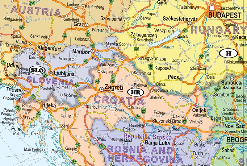
The map displays the European road network and ferry routes, with particular focus on the Baltic and Black Seas. It covers the entire European continent, extending to the Ural Mountains.
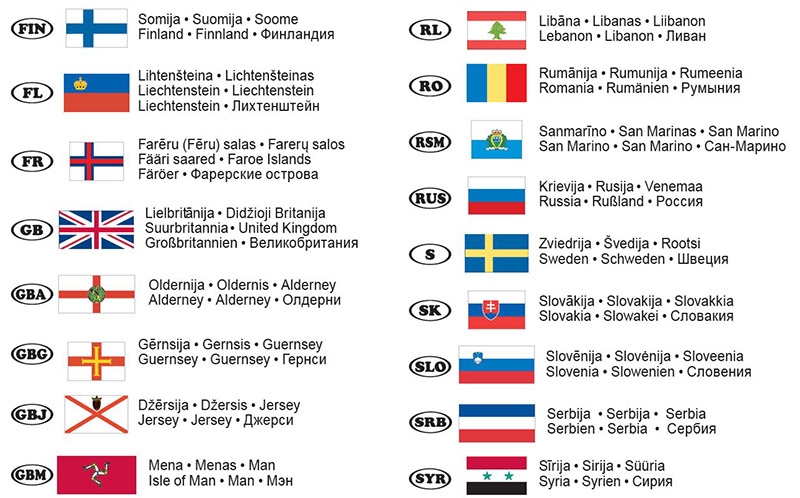
It features a detailed classification of roads and settlements. Place names are shown in their original languages, while the legend is provided in six languages: Latvian, English, German, Lithuanian, Estonian, and Russian.
If you would like this map in a different size or printed on another type of material (double-sided laminated, printed on plastic, or framed), please call +371 67317540 or email kartes@kartes.lv for more information.