Aprašymas
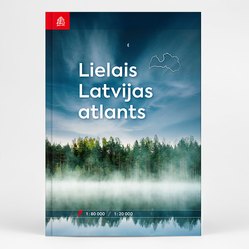
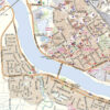
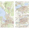
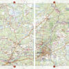
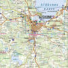
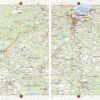
The Great Atlas of Latvia is the latest collection of maps about the territory of Latvia. The Atlas nearly 400 pages shows the whole of Latvia on a scale of 1:80,000. One of the greatest values of the atlas is the precise depiction of Latvia’s territory. On a more detailed scale of 1:20 000, the atlas includes plans for 81 Latvian cities and the largest villages.
There are more than 100,000 place names on the maps of the Atlas. Besides all names of villages, the Atlas includes also more than 55,000 house names.
Travelers of Latvia will be delighted by the rich amount of natural and cultural-historical objects depicted on the maps of the Atlas. Information about forests, caves, large stones, hill forts, cemeteries, churches, and various other objects can be found in them.
The Great Atlas of Latvia is published 12 years after the release of the previous atlas. The publication will be useful for route planners, and map enthusiasts, as well as a part of emergency equipment.
The Atlas is the meticulous original work of Jana Seta cartographers and a culmination of the company’s 30 years of experience.