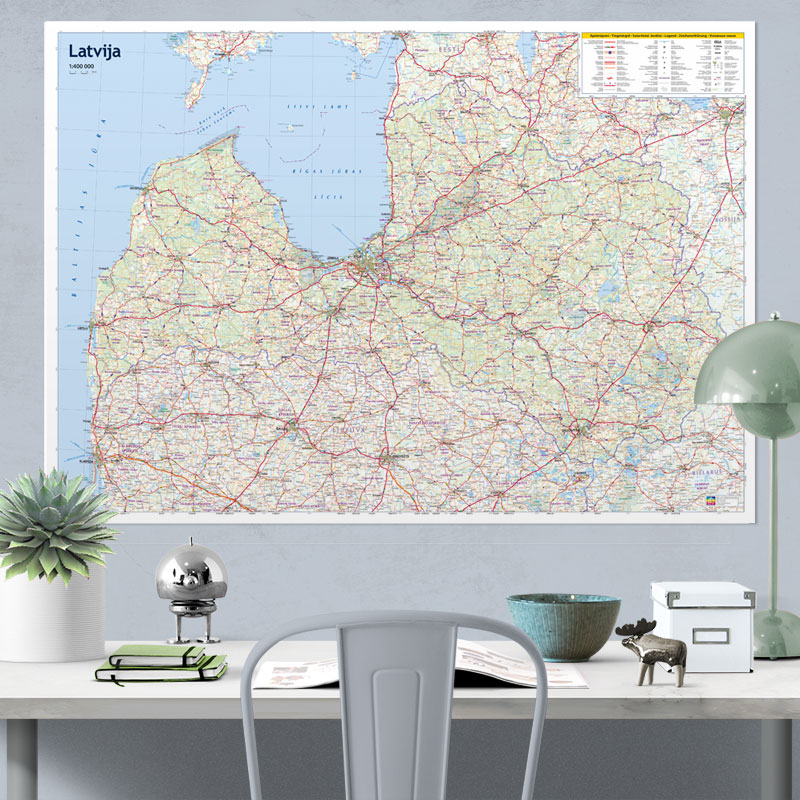
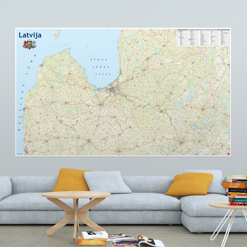
Description
The Latvian Road Wall Map is the largest and most detailed map of Latvia currently available for purchase.
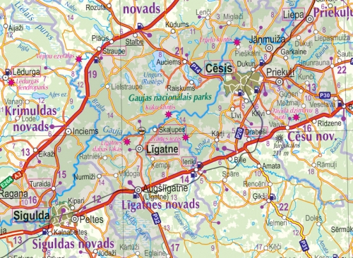
This is a versatile wall map containing the most essential information for everyday use: roads, settlements, administrative divisions, and land use. It also covers a substantial area of bordering territories in Lithuania and Estonia.
The map is based on Latvia’s most popular road map at a scale of 1:500,000.
If you would like this map in a different size or printed on another type of material (double-sided laminated, printed on plastic, or framed), please call +371 67317540 or email kartes@kartes.lv for more information.