Data and data services
IT solutions

Mobile applications

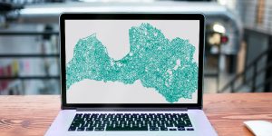
Map for GARMIN and Transport tracking

TUKS – transport monitoring and control tracking solution ensures the highest level of security for tracking data. The unique feature of TUKS is that the tracking data is stored and saved not on a third-party or service provider’s server but on the customer’s server. Latvia Map for Garmin navigation devices is the most accurate Latvia map for Garmin. Always up-to-date information about roads, addresses and points of interest. Easy to use and easy to find addresses in the countryside and towns.
Burtnieks

TerraLexicon
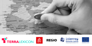
TerraLexicon is an automated translation solution for names on maps and other graphic files. The solution is available on the website www.terralexicon.eu and operates within Adobe Illustrator. The added value of TerraLexicon is the automated replacement of translated names directly in the file, thereby significantly reducing the time needed for editing. The project “Geoname translator for maps” (Est-Lat112) was created by Ltd “Jāņa sēta” (Latvia) in collaboration with Ltd Regio OÜ (Estonia). The project was implemented in the Estonian – Latvian (EST-LAT) cross-border cooperation program with the thematic objective of “Increasing the competitiveness of SMEs” priority axis “Active and attractive business environment.”
Our works/customer references

Custom geospatial solutions for e-commerce operations
“Retail e-commerce today relies heavily on accurate customer location data. When we first began working in this area, we realized that global data providers did not deliver sufficiently precise geospatial information. The address services from Jāņa Sēta, based on the official address data of Latvia, Estonia, and Lithuania, eliminate errors in address entry, saving us both time and costs.
In line with our needs, Jāņa Sēta enhanced their services with the required functionality, ensuring optimal results. In addition, they developed several highly customized geospatial solutions that enable us to plan effectively and ensure timely deliveries.
We highly value the stability of their services, their project management, and the professional approach of their development team.”
Jānis Jakaitis, Head of E-commerce Flow IT, Rimi Baltic
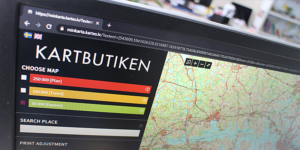
Self-service online map browser
“MinKarta is a self-service online map browser which offers the user the opportunity to choose the place of interest on the map and order a paper print-out of it. It can be ones childhood place, favourite fishing area or just beautiful scenery of the map as the artwork. The browser provides six map scales to choose from, an option to place the sheet as portrait or landscape and to choose printout material between two paper types. I see this service as great addition to our product range and I am satisfied with the project implementation!”
Pedro Pettersson, CEO, Kartförlaget 1985 AB.

Development and maintenance of an Interactive Map Browser
“Jana seta has developed an interactive map browser for State Road Maintenance Service, as well as ensures its maintenance. Interactive online map browser is a daily tool for us – it contains the cartographic map base and special layers of information (real estate objects, data about the Latvian state roads, etc.). The interactive map has been developed and is available only for our internal use, thus ensuring convenient browsing of resources online and improving the performance of daily work. During the cooperation, Jana seta has been ensuring further development, according to our needs and requirements, as well as efficient communication when any maintenance issue occurred.”
Raitis Šteinbergs, Head of Technological Process Development Department, State Road Maintenance Service in Latvia.
CONTACT US

Mr. MAREKS KILUPS
CEO, executive manager,
Geospatial solutions business unit
Phone: +371 67317540, +371 29465511
E-mail: mareks.kilups@kartes.lv
We are open for new ideas and customized solutions. Please contact us to get an offer for realization of your ideas!