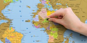
scratch-off maps and posters
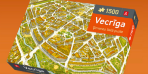
map jigsaw puzzles
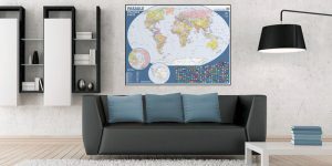
wall maps
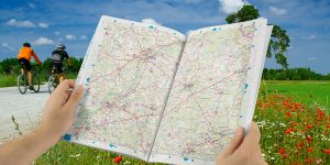
road maps, atlases and guide BOOKS
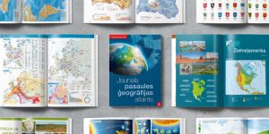
educational publications
Our works/customer references
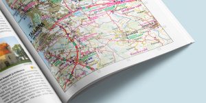
Great Atlas of Latvia
“The publication of the Great Atlas of Latvia was an important and long-awaited event in geographers’ circles and beyond. Such publications are not created often, therefore a new atlas has a special significance. “Jana seta” once again confirmed that cartography in our country is at a high level. The atlas is an excellent tool for planning trips around Latvia – it shows both hiking routes and river sections for paddling, as well as a large number of sightseeing objects. I also recommend the Great Atlas of Latvia to anyone who simply likes to look at beautiful maps and get to know their native land “on paper”.”
Zaiga Krišjāne, Professor, University of Latvia.
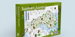
Puzzle “Finnish nature”
“The puzzle of Finnish nature was our Christmas bestseller in 2016. The puzzle for children shows map of Finland and is complemented with illustrations of dozens of species typical for Finnish nature, both animals and plants. I highly evaluate the good cooperation with Jana seta – they offered great idea for a new product and were ready to execute our order in good terms and high quality.”
Janne Kostamo, Director, Map, books and location data products of Karttakeskus OY, Finland.
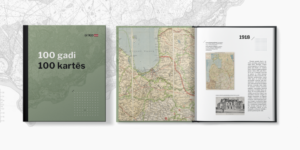
Books “100 Years in 100 Maps” un “100 Maps Before the State of Latvia”
“Maps and atlases published by Jana seta form an important part of the map collection in the National Library of Latvia, and we also successfully cooperate in the research and popularization of older maps. Together we have published two books: “100 Years in 100 Maps” and “100 Maps Before the State of Latvia”. For the first time, many maps of Latvia published from the end of the 18th century to the present day can be seen in them. In 2021, Jana seta georeferenced more than 300 ancient maps sheets, and these maps will soon be available in the new Map Browser of the National Library of Latvia. We are confident of further successful cooperation!”
Reinis Vāvers, Head bibliographer, National Library of Latvia.
Contact us

We are open for new ideas and customized solutions. Please contact us to get an offer for realization of your ideas!