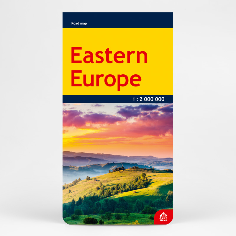
Description
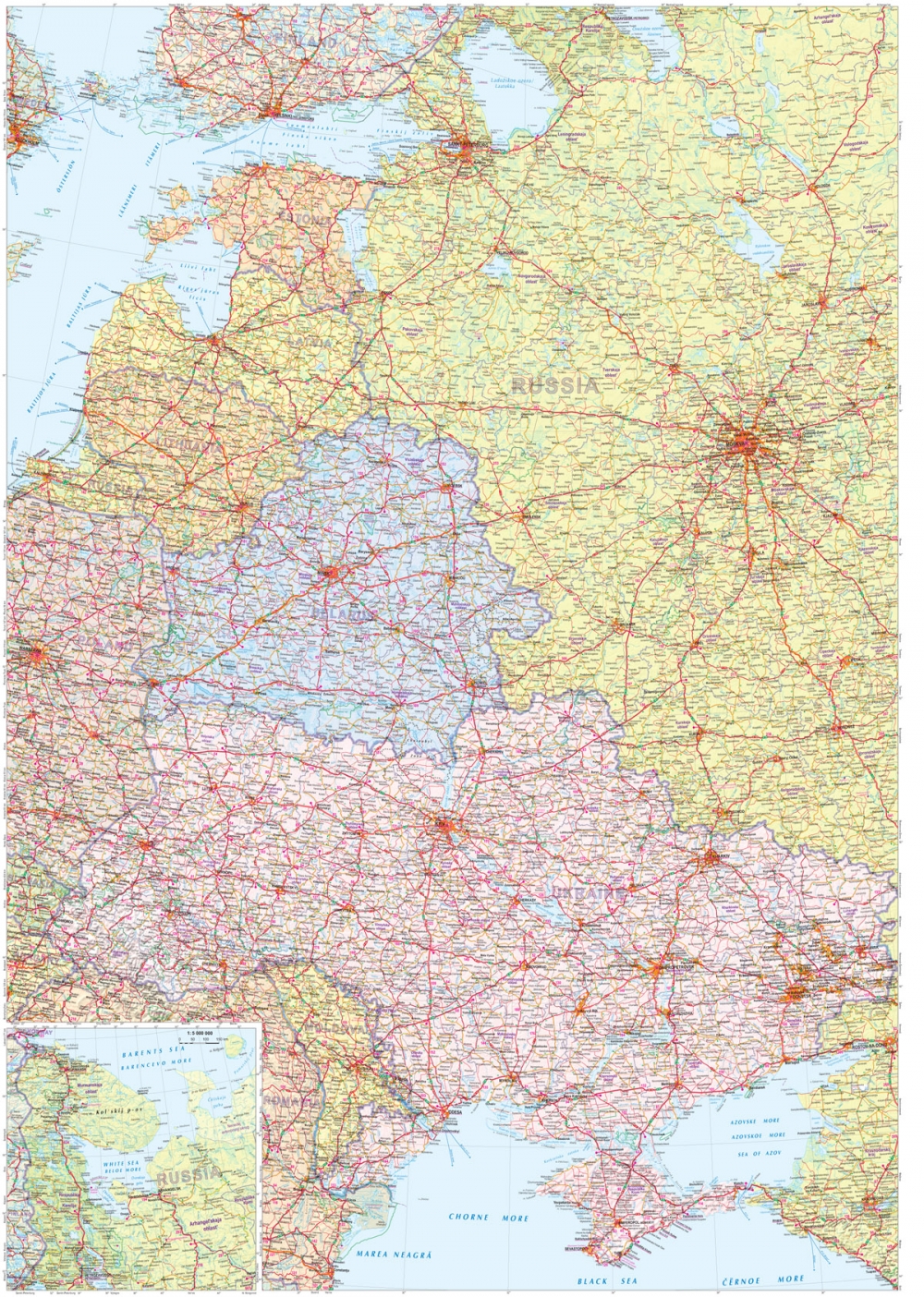
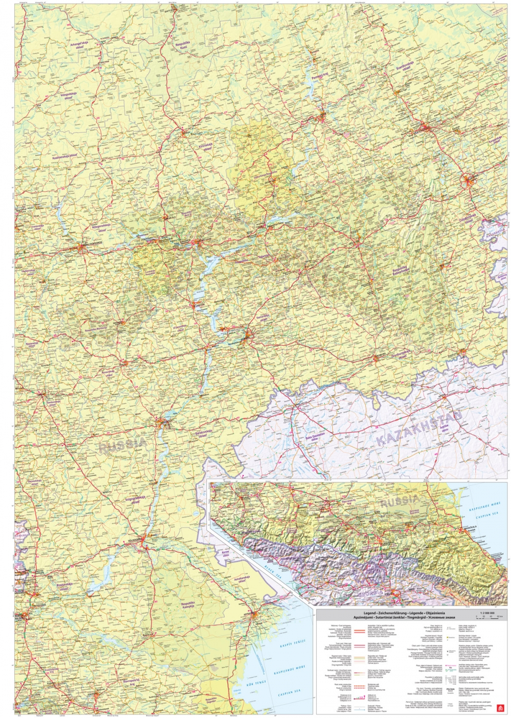
The Eastern Europe road map is an excellent resource for those traveling to Russia, Belarus, and Ukraine.
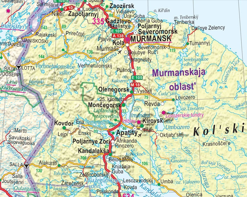
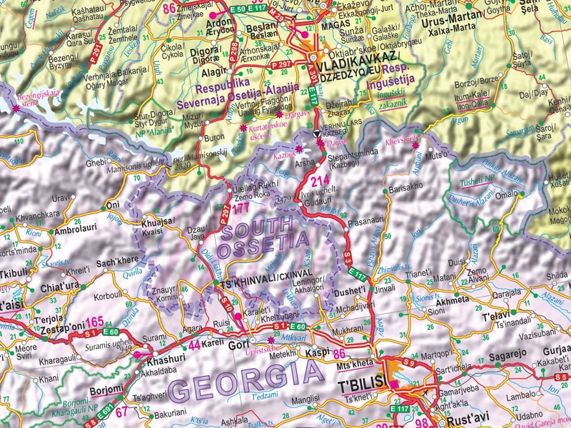
The map covers the European region from the Kola Peninsula in the north to the Caucasus in the south, and from Poland in the west to the Urals in the east. Place names are provided in their original languages, including the languages of Russia’s autonomous regions.
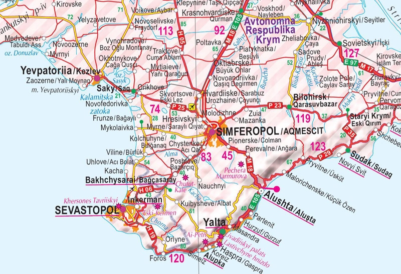
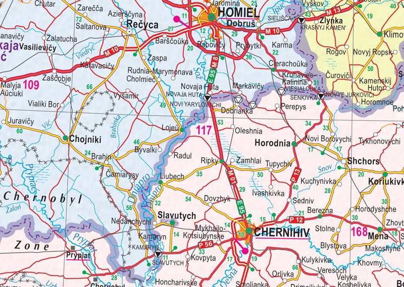
In addition to roads, the map also shows railway and ferry routes, airports, border crossing points, administrative boundaries, major tourist attractions, national parks, territories with unresolved political status (Transnistria, Abkhazia, South Ossetia, Crimea), as well as the Chernobyl Exclusion Zone.