Description
Original, detailed maps and data of the Baltic States – Latvia, Lithuania, Estonia.
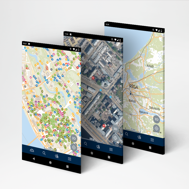
In the free version you can browse digital raster and vector maps of Latvia, Lithuania and Estonia made by “Jana seta” and use GPS functionality. In addition, you can:
– see the closest address and WGS/LKS-92 coordinates by placing a marker on the map;
– browse contemporary and historical topographic maps of Latvia;
– browse orthophoto maps of Latvia and Estonia;
– share a location on the map;
– report map data or content error or changes.
By subscribing to the full version, following features will be unlocked:
– use full turn-by-turn navigation with voice for cars and pedestrians, including up to 49 waypoints;
– search for Latvian, Lithuanian and Estonian addresses and places, localities, counties, parishes, rivers, lakes, etc.;
– download and use offline vector map;
– see cadastre information and search cadastral parcels and buildings in Latvia;
– live traffic information in Riga and Pieriga (updated every five minutes);
– bookmarking favourite places;
– see points of interest, speed cameras on the map;
– see both Baltic-wide long distance hiking trails – the Forest Trail and the Baltic Coastal Hiking Route.
Subscription is based on yearly fee. Get it on Google Play
See more information at https://mob.balticmaps.eu/description/en/Description.html
Contact email: android@kartes.lv