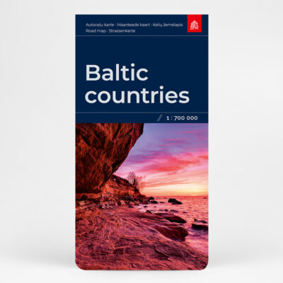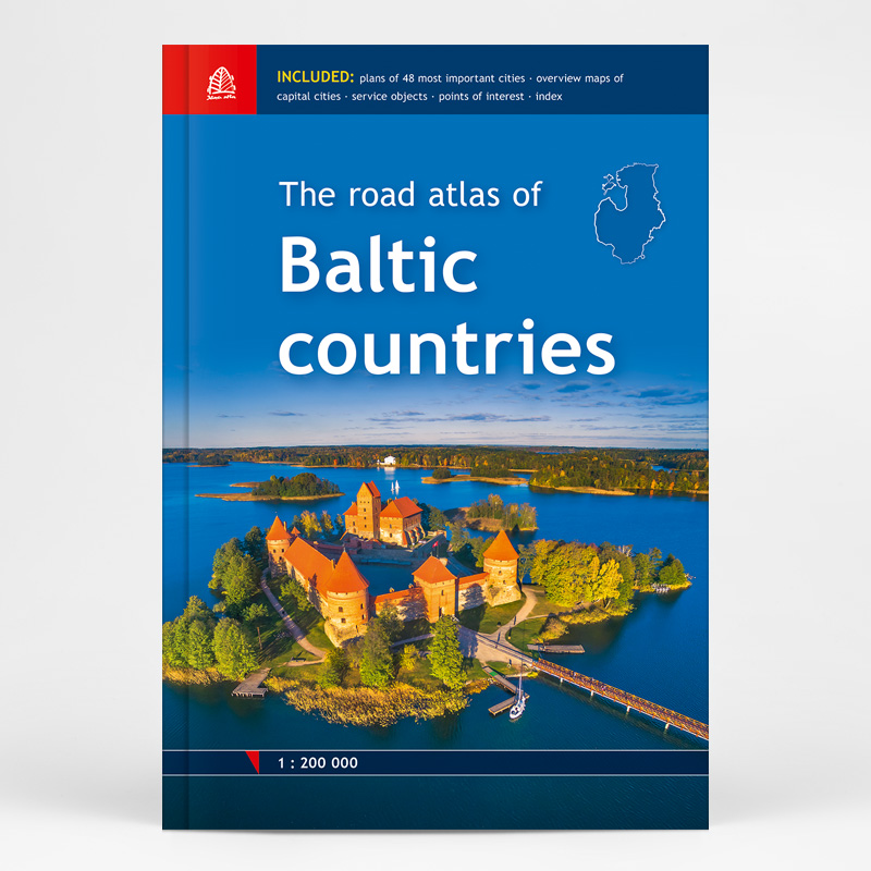
Description
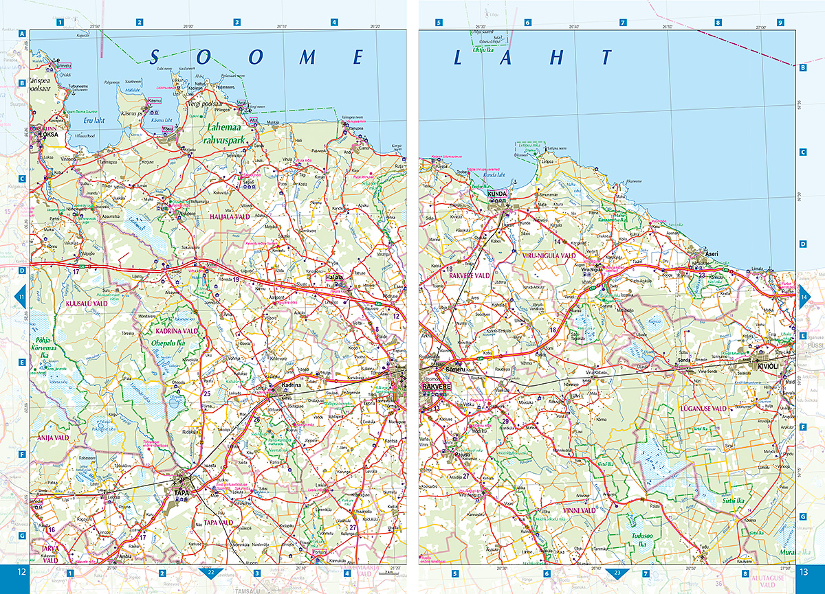
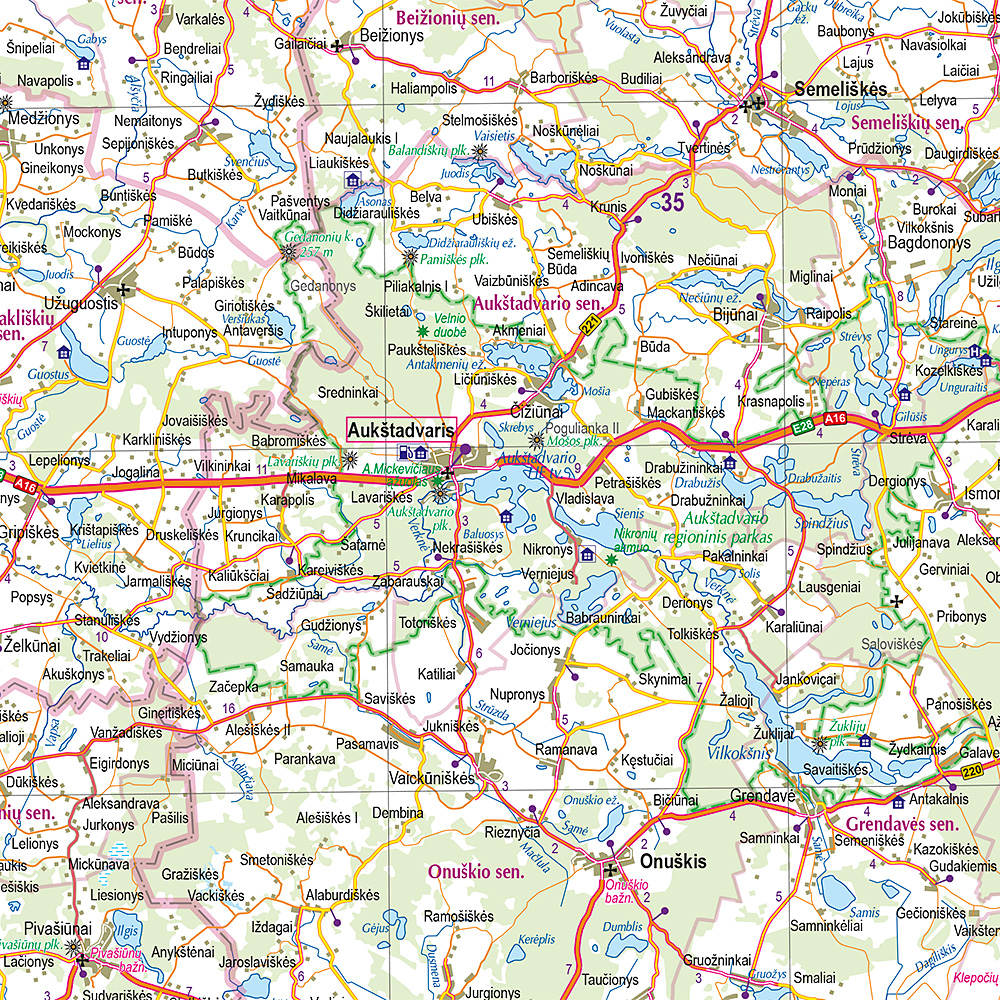
For the first time the road atlas of the Baltic countries is published at scale 1: 200 000. It is the most detailed map atlas covering the entire territory of the Baltic States. Atlas has a new, larger format and a hardback cover.
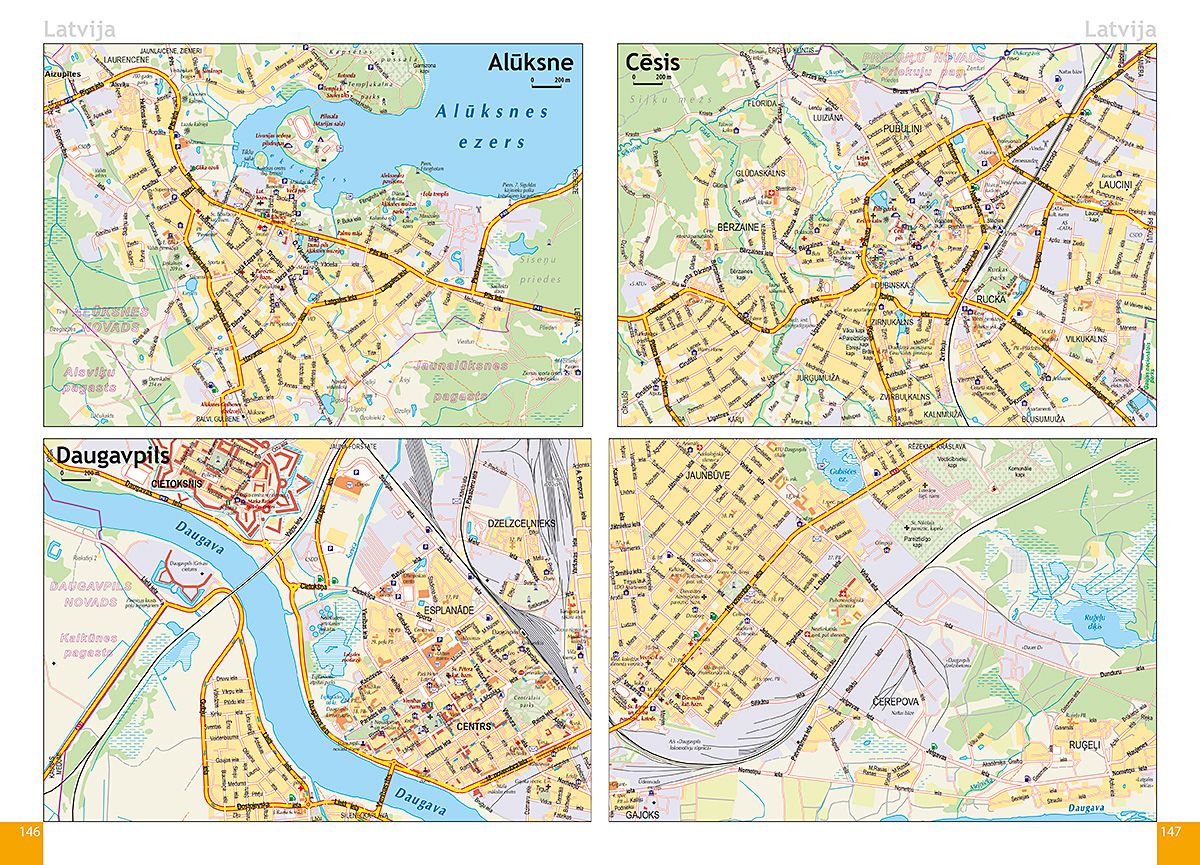
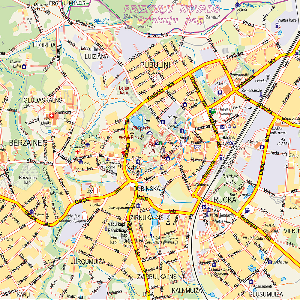
Atlas basemap is supplemented with plans of the 48 largest cities at scale 1: 20 000 as well as Tallinn, Riga and Vilnius vicinity maps at scale 1: 85 000. The reader will find the Baltic Sea region map in the introduction section, and place name index in the final section.
For travellers information about points of interest and tourism services will be useful.
Map legend is in Estonian, Latvian, Lithuanian, English, German and Russian language.