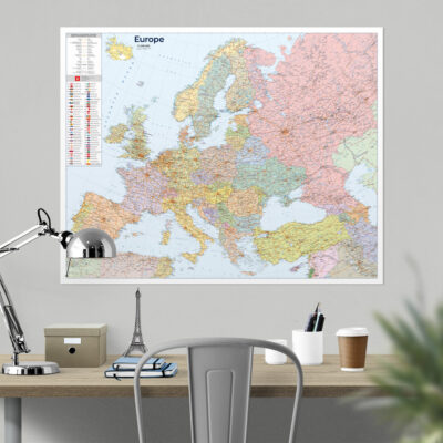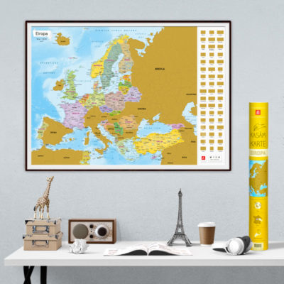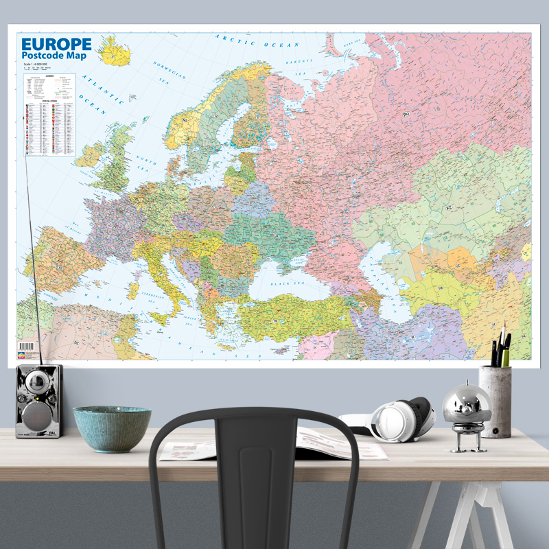
Description
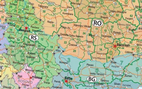
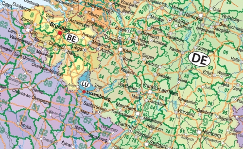
The European Postal Code Map displays the postal delivery zones and corresponding postal codes of all countries in the region – from Portugal to Central Asia. In countries without regional postal delivery divisions, the postal codes of major cities are shown. For the first time in maps of this type, the postal delivery zones of the Baltic States are presented in detail, along with updated postal codes in Uzbekistan, Kazakhstan, and other countries. The map also includes border crossing points and major ferry routes.
If you would like this map in a different size or printed on another type of material (double-sided laminated, printed on plastic, or framed), please call +371 67317540 or email kartes@kartes.lv for more information.