Description
The book “100 Years in 100 Maps”, published in collaboration with the National Library of Latvia, presents the history of the Latvian state over the past century through a unique and compelling medium – maps.
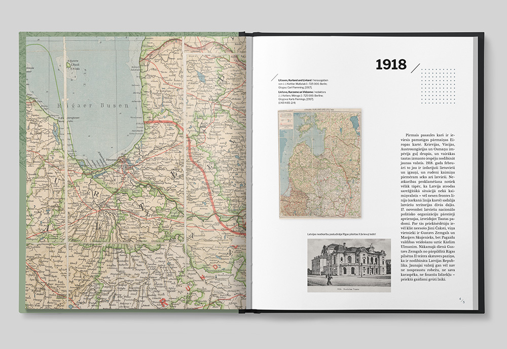
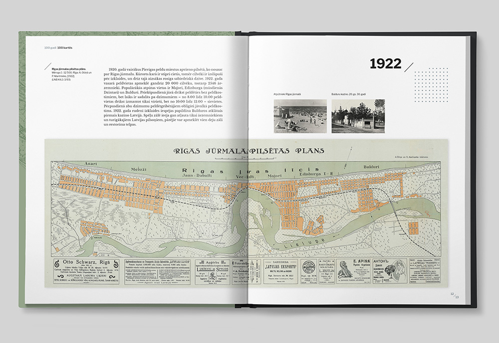
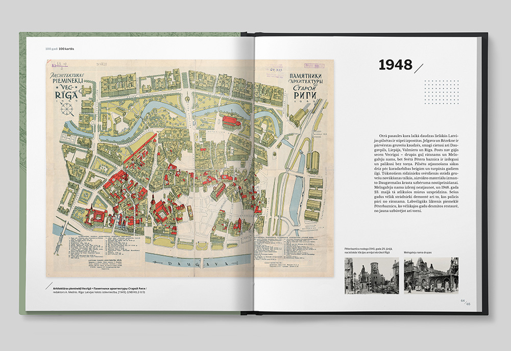
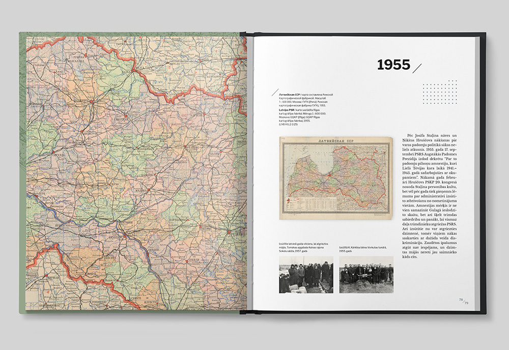
This richly illustrated book showcases the most interesting, unusual, and significant maps related to Latvia from 1918 to the present day. Arranged chronologically, the maps offer a multifaceted visual narrative of Latvia’s journey over the past 100 years. Each year is represented by a carefully selected map, accompanied by a short story and historical photographs, offering readers diverse perspectives on key events and developments in Latvian history.
Most of the cartographic materials featured in the book come from the collections of the National Library of Latvia. The maps were printed both in Latvia and abroad – in the East and West – and are in Latvian, German, Russian, and English. They include maps published by different occupying regimes, as well as by Latvians in exile. The collection is broad and varied, featuring thematic maps of different scales, including topographic maps and city plans.
“100 Years in 100 Maps” powerfully reflects the twists and turns of Latvian history throughout a century. From widely known administrative and territorial changes to the painful subject of national borders and the impact of occupation, the book captures these themes through a cartographic lens. Military maps from various regimes reveal the realities of war – including the Cold War. Some maps stretch far beyond Latvia’s borders, telling stories of Latvian destinies abroad, while others place Latvia in broader regional and global contexts – within the Baltics, the USSR, Europe, and more.
The maps also explore Latvia’s economic, demographic, social and cultural life. A significant number are dedicated to tourism, including the popular and educational 1937 map “Explore Your Homeland”, a bestseller in its time. City plans – especially those of Riga – form a major part of the collection, and public transport maps illustrate the evolution of urban mobility.
This extraordinary publication invites readers to experience Latvia’s past in a deeply visual and thought-provoking way.

