Description
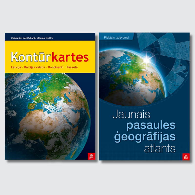
Set of Outline map atlas for schools and New Universal World atlas.
Outline map atlas for schools
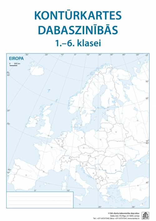
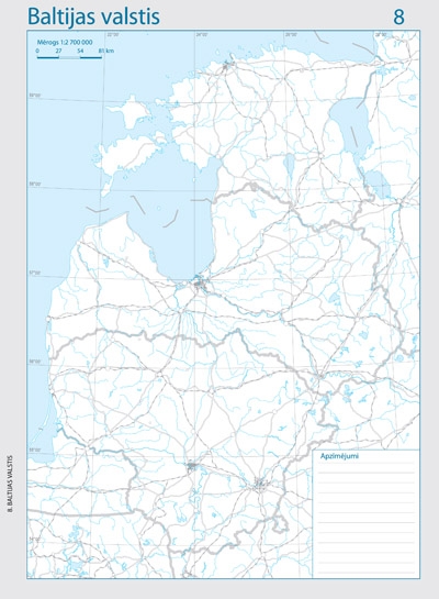
The atlas contains 35 outline maps on perforated sheets, allowing each map to be removed and used individually. Two-color printing highlights relief and other geographical features for clearer visualization.
New Universal World atlas
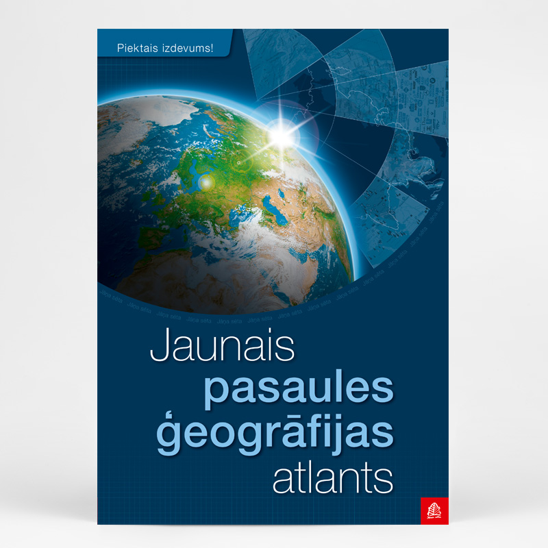
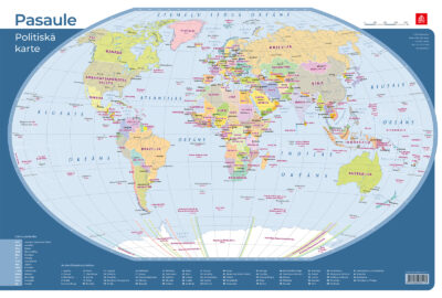
Compared to the earlier version, this updated atlas features newly designated cities in Latvia, maps illustrating refugee flows caused by Russia’s invasion of Ukraine, and numerous other major and minor changes. The revised edition also includes updated maps of population density, ethnic composition, and transportation networks, now featuring Rail Baltica.
With over 200 maps and illustrations, the atlas is enriched by a comprehensive reference section with flags of countries and territories, as well as an index of over 12,000 toponymes.
New Universal World atlas is an original work by Latvian cartographers. It is a versatile resource suitable for both demanding map users and students, fully aligned with Latvia’s new education standard and the geography curriculum.

