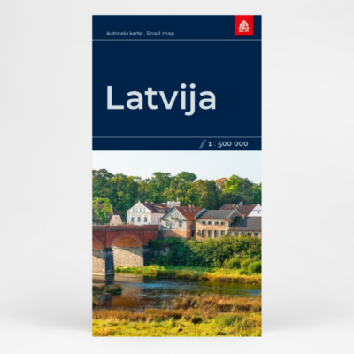
Description
The first active tourist map in Latvia, issued by Tyvek®, is made from a highly durable synthetic fiber material. It is waterproof, untearable and does not fade in the sun ensuring the longevity of the map usage.
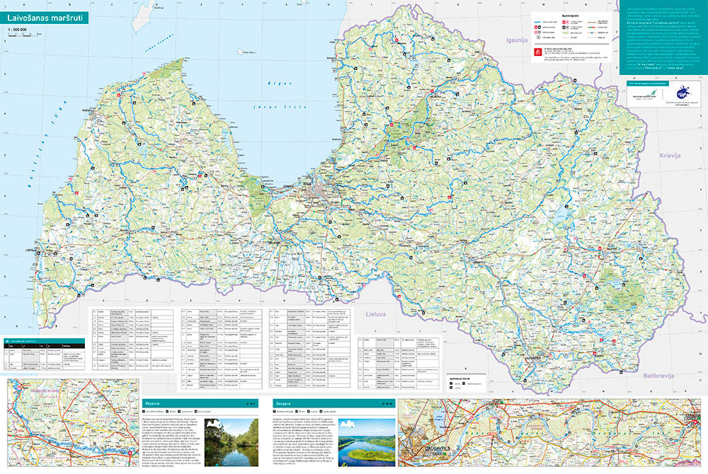
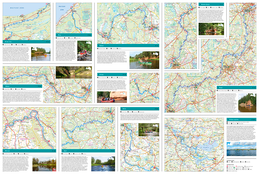
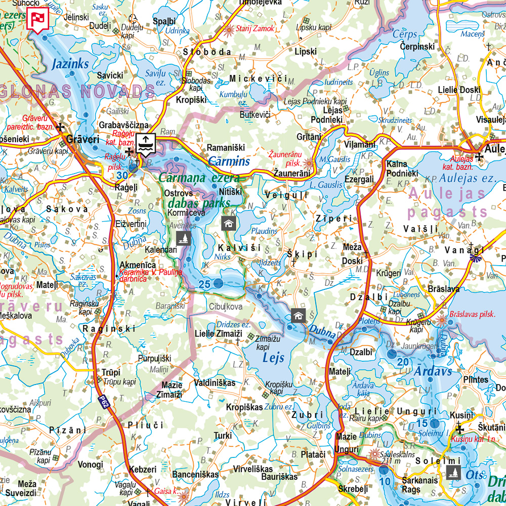
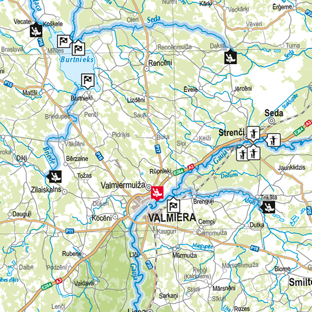
Active tourism map “Laivošanas maršruti” (“Water routes”) invites travellers to get acquainted with the Latvian rivers. The map provides information to help you choose the best track, based on recommended boat routes, time length, and season. Given variation of scenery and stages for active boating, the authors of the publication have chosen 13 routes, for which more information is provided accompanied with a detailed map. Before going on a boat trip, we recommend you to find out whether the water level in the river is sufficient and which boat will be the most suitable. In the springtime, and when there is rapid water in the rivers, better boating skills are needed, so be careful! Use a lifejacket (it is mandatory for children under the age of 12)! And do not forget to keep the river clean behind you!