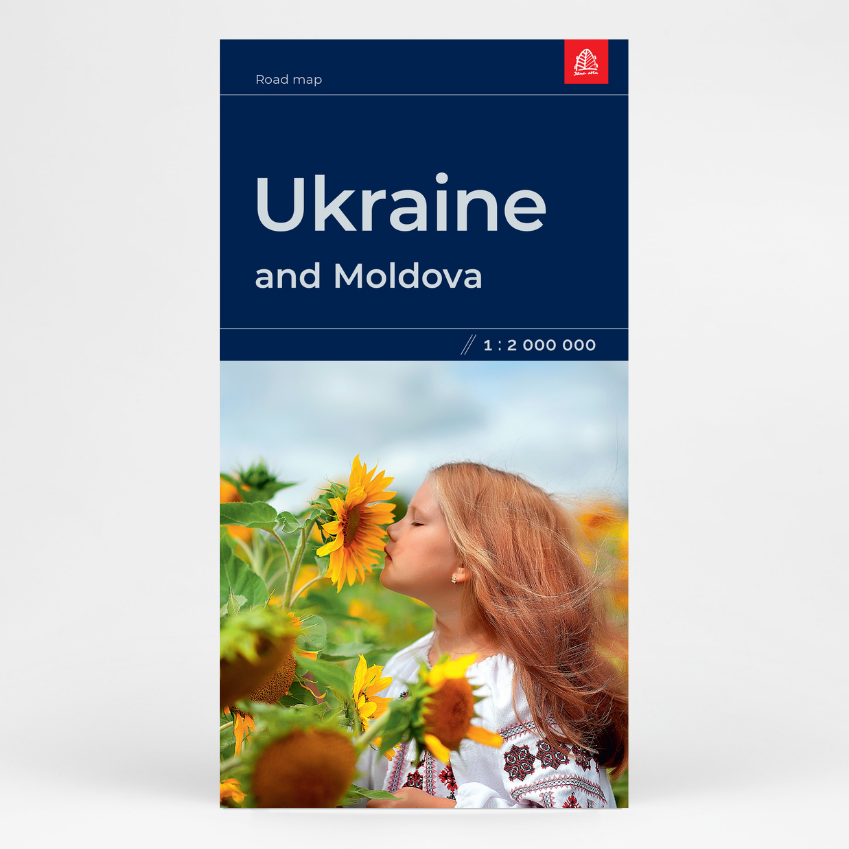
Description
Legend of the Ukraine Map is in Latvian, Ukrainian, English, German, Lithuanian, Estonian, Swedish, and Finnish.
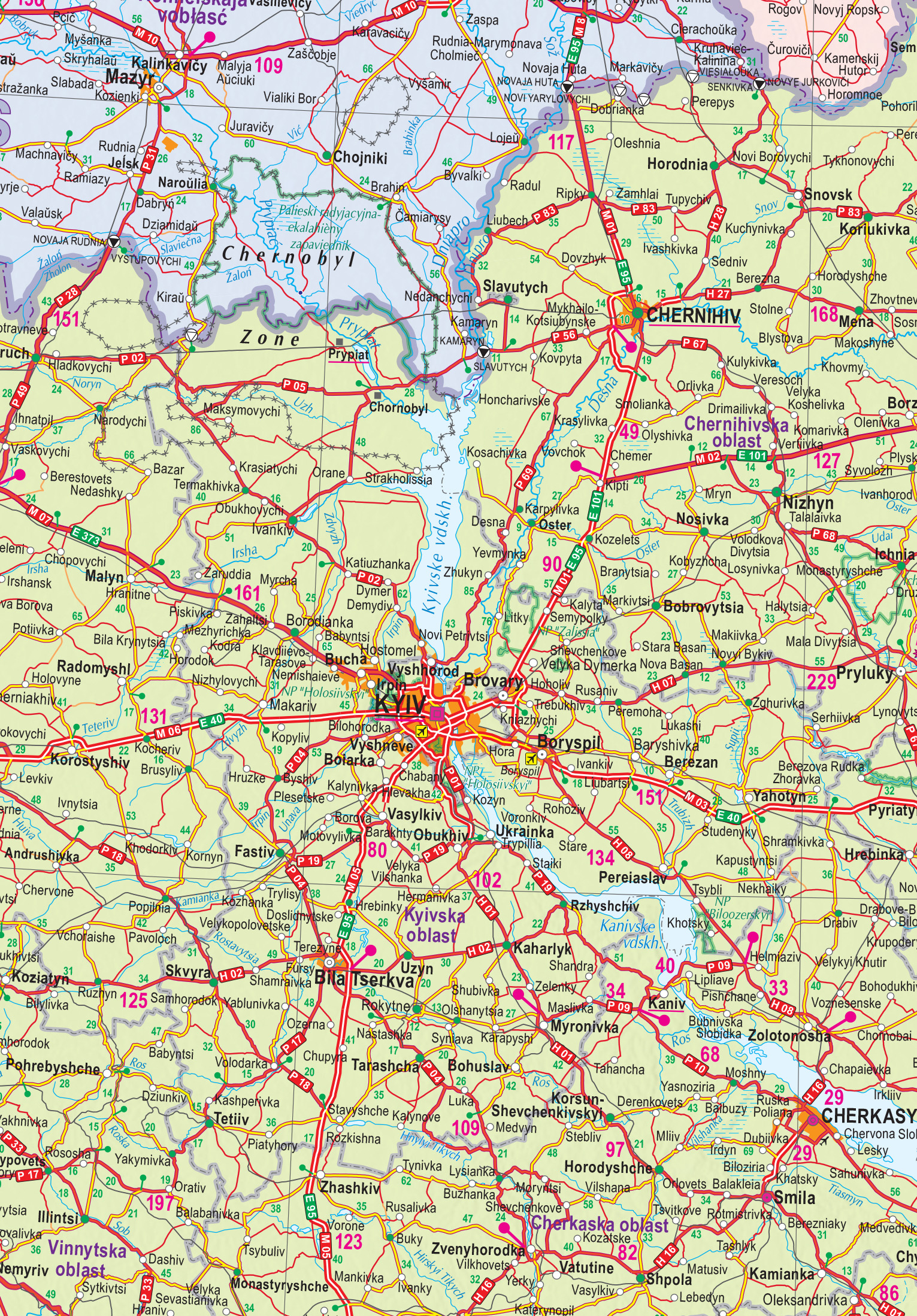
The most detailed map of Ukraine, complete with a place name index.
The map features a detailed road network and an index of populated places, place names are provided in their original languages using Latin script. Distances between populated places are indicated.
In addition to roads and settlements, the map also shows railway lines, airports, border crossing points, administrative boundaries, national parks, as well as occupied and annexed territories and the Chernobyl Exclusion Zone. The entire territory of Moldova is also depicted on the map.
The map was created in collaboration with a Ukrainian cartographic editor.