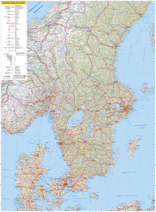
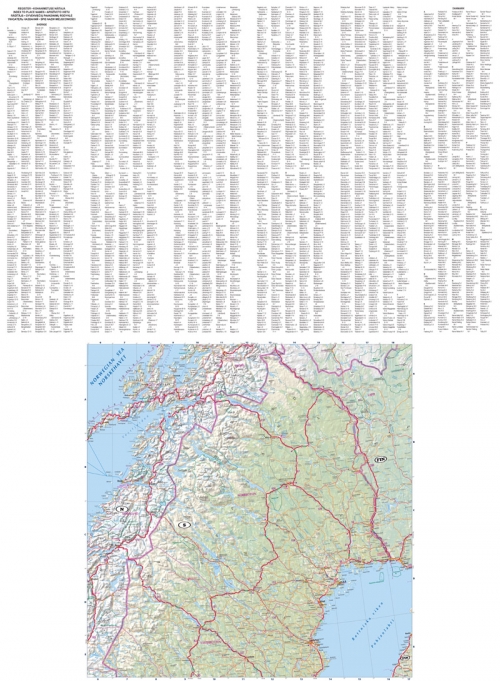
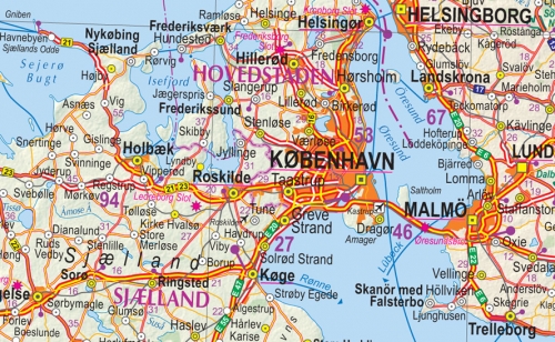
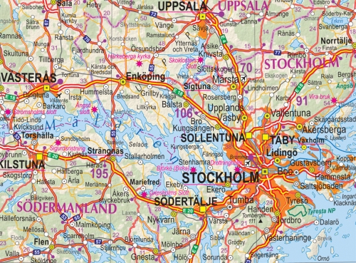
Description
Sweden and Denmark map shows detailed road network with distances between the main road intersections, all ferry service lines. Due to detailed populated places classification, one can easy find the biggest urban and quite small countryside villages.
In map there is an information about various tourism and service objects, national parks and selected populated places, railroads, forests, swamps, glaciers. The relief is depicted with shading.
The map has alphabetical index of settlements.