Description
In this special version of the Latvia map with Latvian State Forest data, the base information is supplemented with the following:
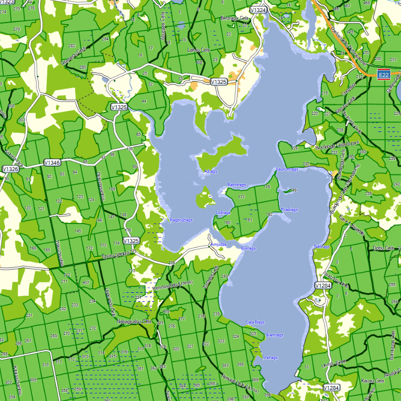
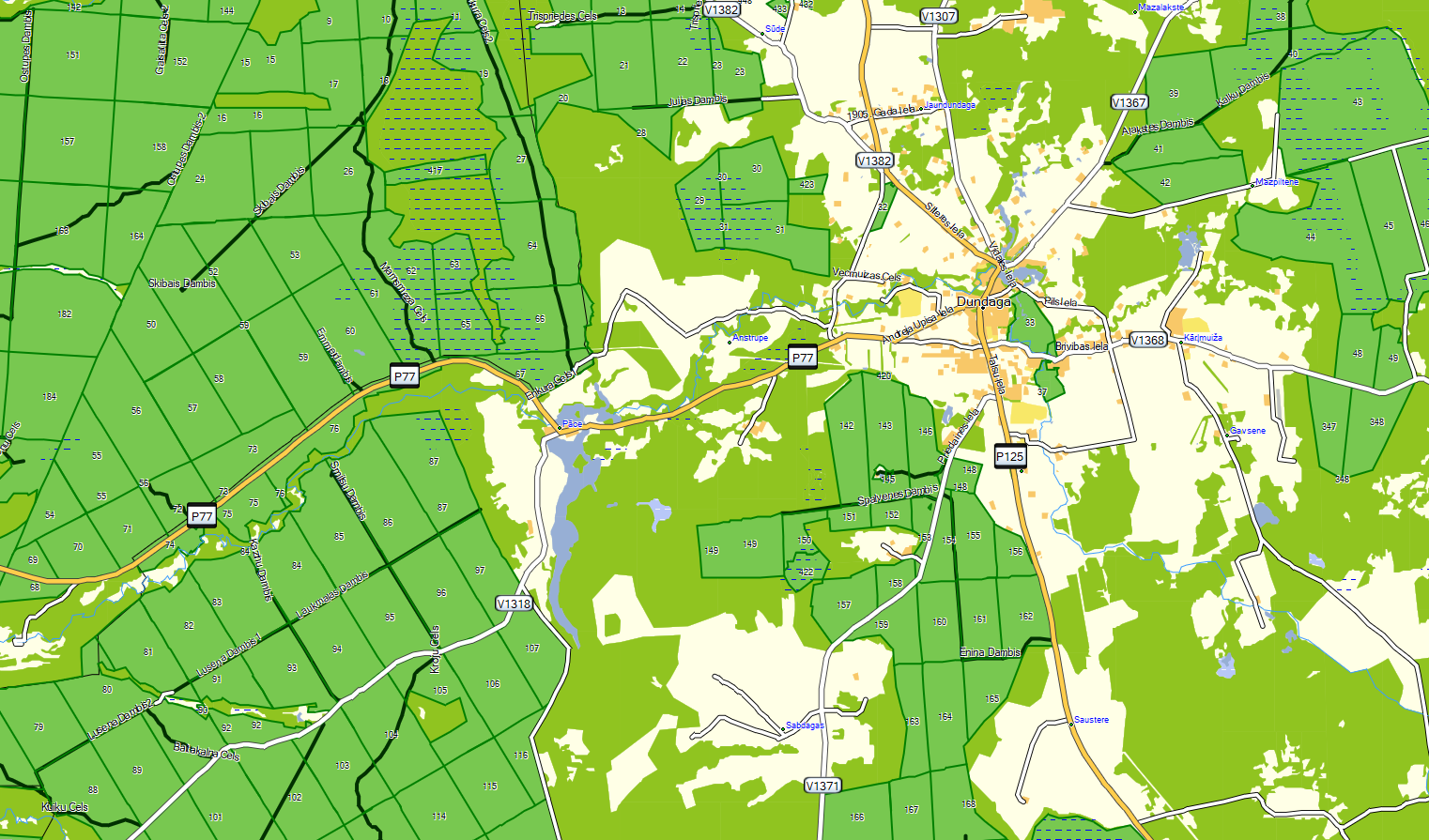
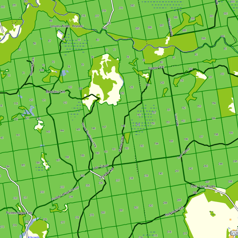
1.1. Forest Compartments
The map visually displays forest compartment boundaries and numbers. In the Points of Interest (POI) section, users can search for forest compartments by their unique code. Information is available for state forest compartments.
2.2. Forest Roads
The map visually displays the names of forest roads. Information is available for state forest roads.
The map can be used on all Garmin navigation devices that support external microSD cards.
Base information included in the Latvia map:
-
More than 130,000 km of roads and streets
-
Plans of all Latvian cities and larger towns
-
10,000 populated places and 220,000 homesteads
-
More than 275,000 numbered addresses
-
Administrative divisions
-
Land use (forests, swamps, bodies of water, built-up areas, allotments, parks)
-
Relief
-
Hydrographic network (over 110,000 km of rivers and 6,200 hydronyms)
-
All specially protected nature areas
-
Tourist attractions
The map has been created using publicly available geospatial data from Latvijas Valsts Meži (Latvian State Forests).
Updates
A downloadable update for the special Latvia map version with State Forest data is available for purchase in our store at the following link:
UPDATE – Garmin Map with State Forest Data
Instructions
USER GUIDE – Updating the Garmin Map with State Forest Data (IN LATVIAN)