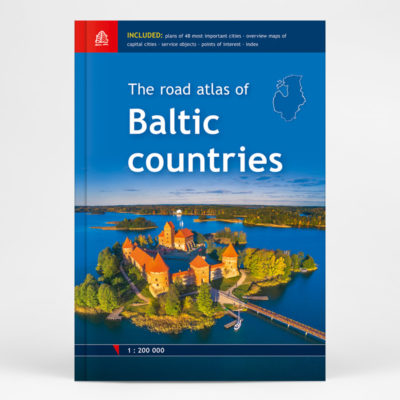
Description
The Great World Atlas is the most comprehensive collection of maps ever published in the Baltic States.
The atlas, consisting of over 500 pages and weighing approximately four kilograms, contains 90,000 geographical names across its maps.
There are only few countries in the world that have managed to prepare and publish a national world atlas, and even fewer nations that have released such an extensive work in their native language. We have such an atlas – and it has been both created and published here in Latvia.
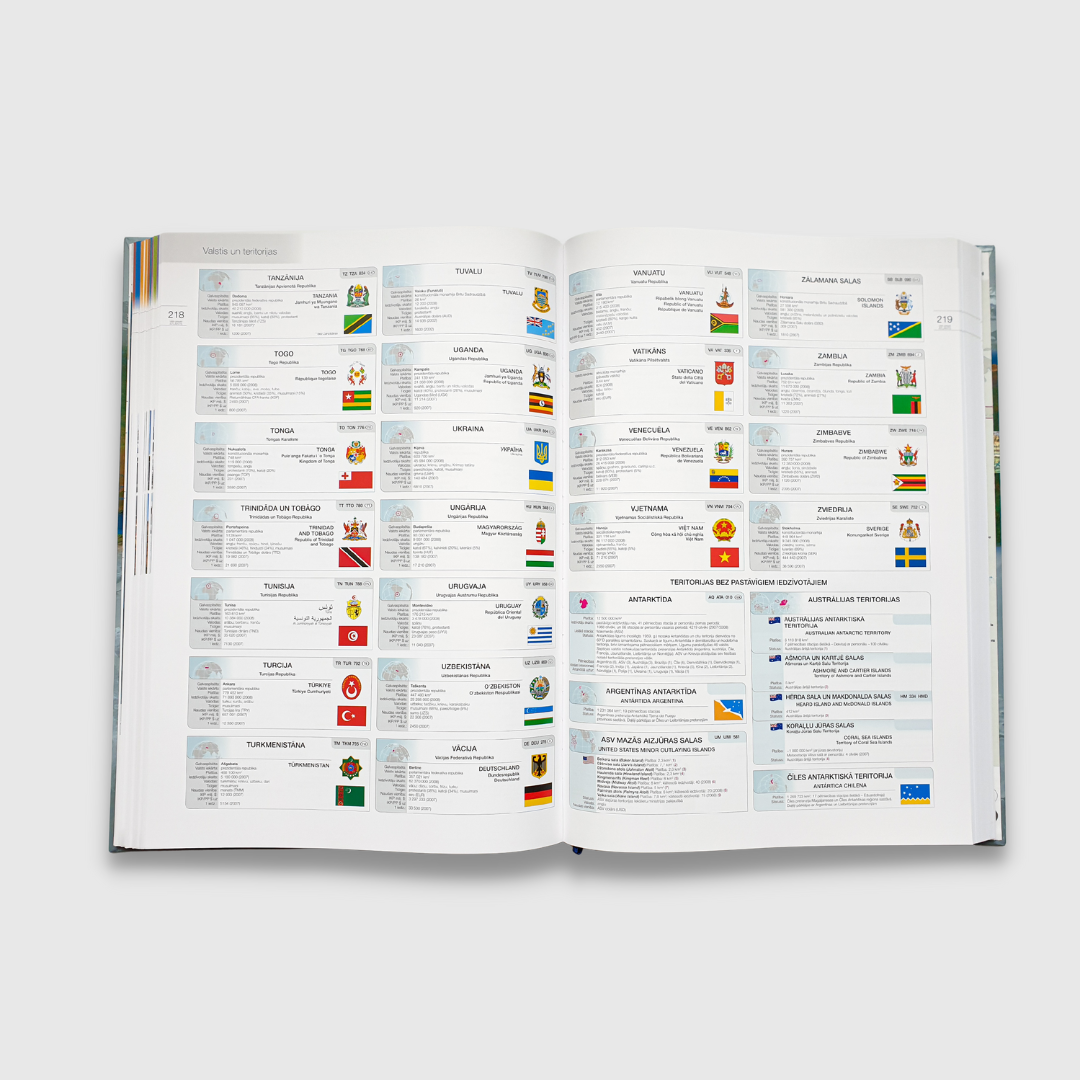
In addition to maps, the atlas includes general information about all the countries and territories of the world, along with illustrations of their coats of arms and flags.
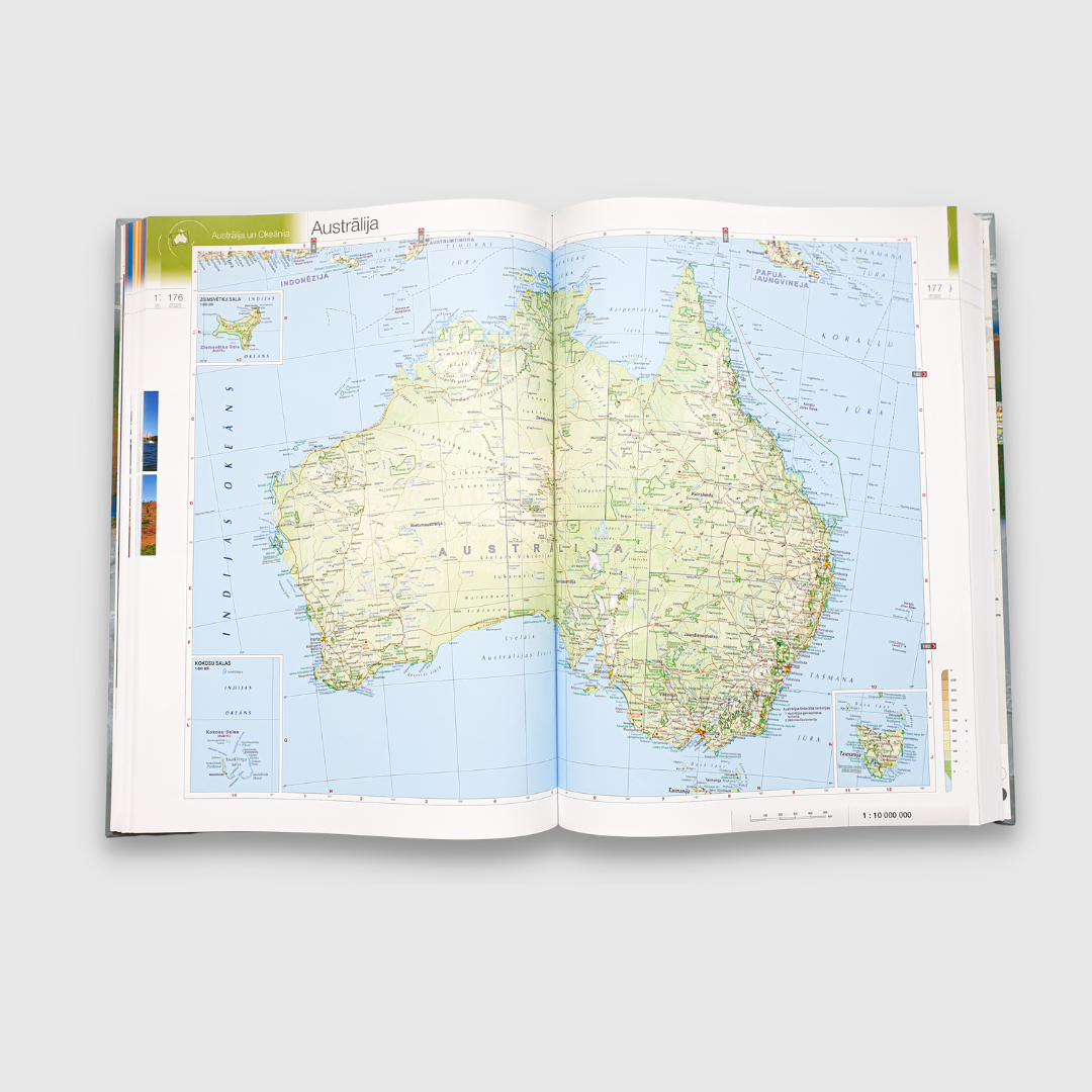
The maps in the atlas are prepared using a unified scale system and standardized projections. Europe is mapped at a scale of 1:3 000 000, while the rest of the world is presented at a base scale of 1:10 000 000, with selected regions shown in greater detail at a scale of 1:5 000 000.
The atlas is divided into a maps section and a reference section, along with an index of place names. The maps section begins with maps of the world, followed by chapters dedicated to Latvia and each part of the world. At the end of the maps section, maps of the oceans are included.
The reference section provides general information about all countries and territories of the world, completed with illustrations of their coats of arms and flags. This is followed by statistics on various geographical extremes, as well as information about the population of the largest cities in each country and territory.
The atlas concludes with an index of Latvian geographical names alongside their original forms. The introduction to this section explains the criteria used for selecting geographical names and the principles behind their transcription.